
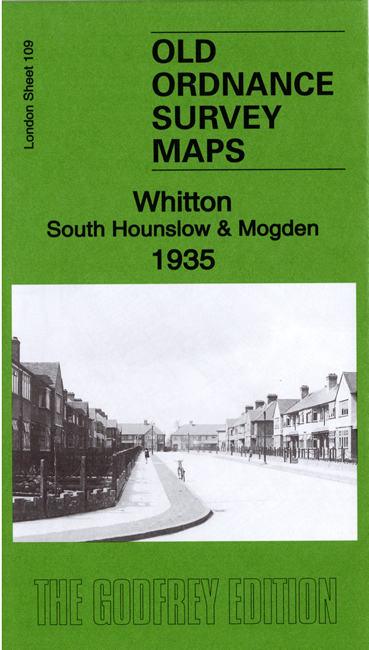
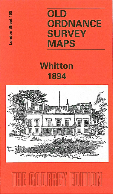
 Here are the details of maps for Whitton:

We have published two versions of this map, showing how the area changed across the years.
The detailed map is centred on the village of Whitton, including St Philip & St James church, Kneller Hall (Royal Military School of Music), Manor House, Whitton Dean Farm. To the west is Whitton Park, while in the NW of the map is part of Hounslow, including St Stephen's church, Hounslow & Whitton station, Lancers Road and Maswell Park. The map extends eastward to the River Crane and Oak Lane, with Marsh Farm in the SE corner, including several tramways for produce and fertiliser.
Each map includes extracts from an early directory together with a specially written introduction.
The map links up with Middlesex Sheet 20.07 Hounslow to the north, 20.10 Hounslow Heath to the west, and London Sheets 110 Richmond to the east and 121 West Twickenham to the south.
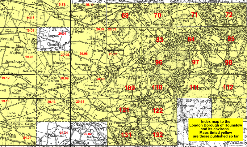 Follow this link for a list of our maps for the London Borough of Hounslow, or here for a complete list of our London maps .