Old Ordnance Survey Maps of Northumberland

  • These detailed maps normally cover an area of about one and a half miles by one mile. Each map includes an introduction.
  • They are available through our On-line Mapshop

  • Here are the details of maps for Seghill:

  • Northumberland Sheet 86.02 Seghill 1914 - published 2023; intro by Alan Godfrey. ISBN.978-1-78721-622-8

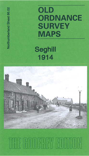
    This detailed map covers the colliery village of Seghill, with coverage extending to the outskirts of Seaton Delaval.

    Features include Seghill Colliery, Cramlington Colliery Railway Dudley Branch and Lamb Pit Branch, Middle Farm, Seghill village, NER Blyth & Tyne railway, Seghill station, Holy Trinity church, Mare Close Farm, etc

  • The map links up with sheets 78.14 Seaton Delaval to the north and 86.03 Holywell to the east.
  • Follow this link for a complete list of our Northumberland maps. For other information and prices, and other areas, go to The Index Page.
  • Maps in the Godfrey Edition are taken from the 25 inch to the mile map and reduced to about 15 inches to the mile. For a full list of maps for the North East, return to the North East page.
    The Godfrey Edition / sales@alangodfreymaps.co.uk / 4 April 2023