Old Ordnance Survey Maps of Northumberland

  • These detailed maps normally cover an area of about one and a half miles by one mile. Each map includes an introduction.
  • They are available through our On-line Mapshop

  • Here are the details of maps for New Hartley & Delaval Hall:

  • Northumberland 81.06 New Hartley & Delaval Hall 1896 - published 1989; intro by Alan Godfrey. ISBN.978-0-85054-210-3
  • Northumberland 78.15 New Hartley & Delaval Hall 1920 - published 2023; intro by Alan Godfrey. ISBN.978-1-78721-645-7

    We have published two versions of this map, showing how the area changed across the years. Note that they have slightly different sheetlines and different sheet numbers.

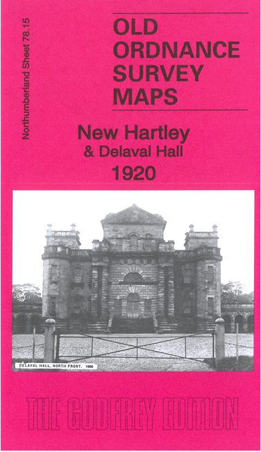
    Features on the 1920 map include Delaval Hall, Seaton village, Mausoleum, NER Avenue Branch, Hartley Station, Blyth & Tyne railway, New Hartley, St Michael's church, Hastings Hartley Arms Inn etc. On the reverse of this map we include a section of the 1858 six-inch map showing the area from Hartley Colliery to the coast, including Dealaval Hall, Seaton Sluice and Hartley.

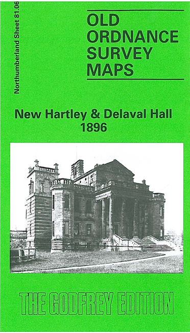
    The 1896 map, on slightly different sheetlines, is double-sided for maximum coverage.

    The maps link up with Sheets 78.14 Seaton Delaval to the west, 81.07 Seaton Sluice to the east and 86.03 Holywell to the south


  • Follow this link for a complete list of our Northumberland maps.
  • You can order maps direct from our On-line Mapshop. For other information and prices, and other areas, go to The Index Page.
  • Maps in the Godfrey Edition are taken from the 25 inch to the mile map and reduced to about 15 inches to the mile. For a full list of maps for the North East, return to the North East page.
    The Godfrey Edition / sales@alangodfreymaps.co.uk / 8 July 2023