Old Ordnance Survey Maps of Northumberland

  • These detailed maps normally cover an area of about one and a half miles by one mile. Each map includes an introduction.
  • They are available through our On-line Mapshop

  • Here are the details of maps for Cramlington:

  • Northumberland Sheet 78.13 Cramlington 1920 - published 2023; intro by Alan Godfrey. ISBN.978-1-78721-619-8

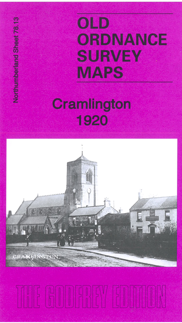
    This detailed map covers the village of Cramlington, with coverage extending southward to West Cramlington and eastward to Klondyke and Cramlington Colliery.

    Features include St Nicholas church, Middle Farm, Cramlington Hall, West Cramlington Colliery and village, Cramlington Colliery Railway, Cramlington Colliery (Ann and Betsy Pits), Cramlington House, South Cramlington Farm, East Cramlington Farm etc.

  • The map links up with sheets 78.14 Seaton Delaval to the east.
  • Follow this link for a complete list of our Northumberland maps. For other information and prices, and other areas, go to The Index Page.
  • Maps in the Godfrey Edition are taken from the 25 inch to the mile map and reduced to about 15 inches to the mile. For a full list of maps for the North East, return to the North East page.
    The Godfrey Edition / sales@alangodfreymaps.co.uk / 4 April 2023