
 Here are the details of maps for
Blyth:
Here are the details of maps for
Blyth:

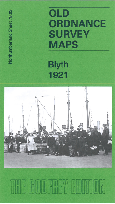
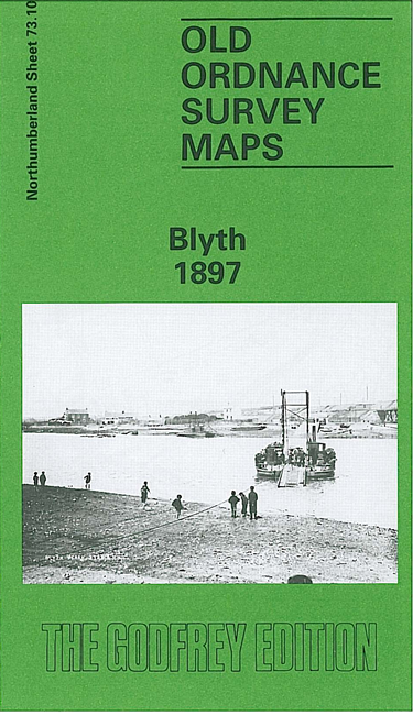
We have published two versions of this map, showing how the town changed across the years. Note that the two are on different sheetlines, so have different sheet numbers.
The 1921 map gives very good coverage of the town. Features include railway with station, South Side Staiths, Ridley Park, South Harbour, Mill Pit, West Pier, East Pier, Theatre Royal, cinema, NER New Blyth line, etc. This map also includes an extract from the 1st edition six-inch map, surveyed in 1859, covering Blyth, Crofton and Cowpen.
The 1897 map, on different sheetlines, extends slightly further north, and includes the Cowpen Colliery Railway, North Pit, Cowpen Quay, Crofton Mills and North Blyth as well as the town centre.
The 1921 map links up with sheet 70.15 North Blyth to the north.