Northumberland Sheet 70.15 North Blyth 1921-37 - published 2023; intro by Alan Godfrey. ISBN.978-1-78721-703-4 
This map is double-sided to include both the 1921 and 1937 maps to show how the area changed across the years.
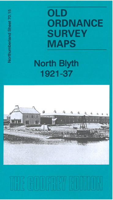
Features include North Blyth and the southern part of Cambois, Battleship Wharf, engine shed, North Side staiths, shipbuilding yards on the Cowpen side,
railway marshalling yard, Cowpen Colliery Railway, Tidal Basin, High Ferry etc.
The map links up with sheet 78.03 Blyth to the south.
Follow this link for a complete list of our Northumberland maps.
You can order maps direct from our On-line Mapshop.
For other information and prices, and other areas, go to The Index Page.
Maps in the Godfrey Edition are taken from the 25 inch to the mile map and reduced to about 15 inches to the mile.
For a full list of maps for the North East, return to the North East page.
The Godfrey Edition / sales@alangodfreymaps.co.uk / 27 November 2023

 Here are the details of maps for North Blyth: