
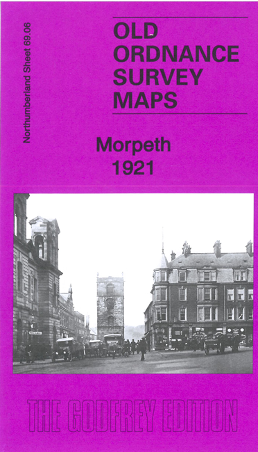
 Here are the details of maps for Morpeth:
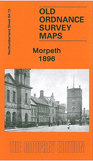

We have published two versions of this map, showing how the area changed across the years. Note that they are on slightly different sheetlines as the OS moved to a different meridian grid for Northumberland in the 20th century.
The 1922 map covers the centre of Morpeth with coverage extending south to the station. Features include town centre with individual buildings neatly shown, railway with station, Newminster Abbey ruins, Newminster Abbey House, Morpeth Castle remains, St James church, Court House, Carlisle Park, Low Stanners, Market Place, Union Workhouse, King Edward VI Grammar School, Wansbeck Iron Works, East Mill, River Wansbeck, etc.
The 1896 version does not include the railway or station. It covers the town centre but also extends northward to include the County Lunatic Asylum and part of Collingwood Common and the Old Racecourse.