
 Here are the details of maps for Harmondsworth:

This detailed map covers much of the village of Harmondsworth, incl St Mary's church, Manor Farm, etc. Further south is the Road Research Laboratory and, on the Bath Road, the hamlet of Longford. Coverage extends westward to the county boundary and Longfordmoor, Mad Bridge and Egglesee Farm. Part of Colnbrook station is at the extreme margin. Note that the Buckinghamshire portion of the map is left blank. On the reverse we include a 1933 directory of Harmondsworth.
The map links up with Middlesex Sheet 14.15 West Drayton (The Green) to the north and 19.04 Sipson to the east.
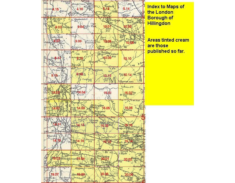 Follow this link for a list of our maps for the London Borough of Hillingdon,
or here for a complete list of our London maps .
Follow this link for a list of our maps for the London Borough of Hillingdon,
or here for a complete list of our London maps .