
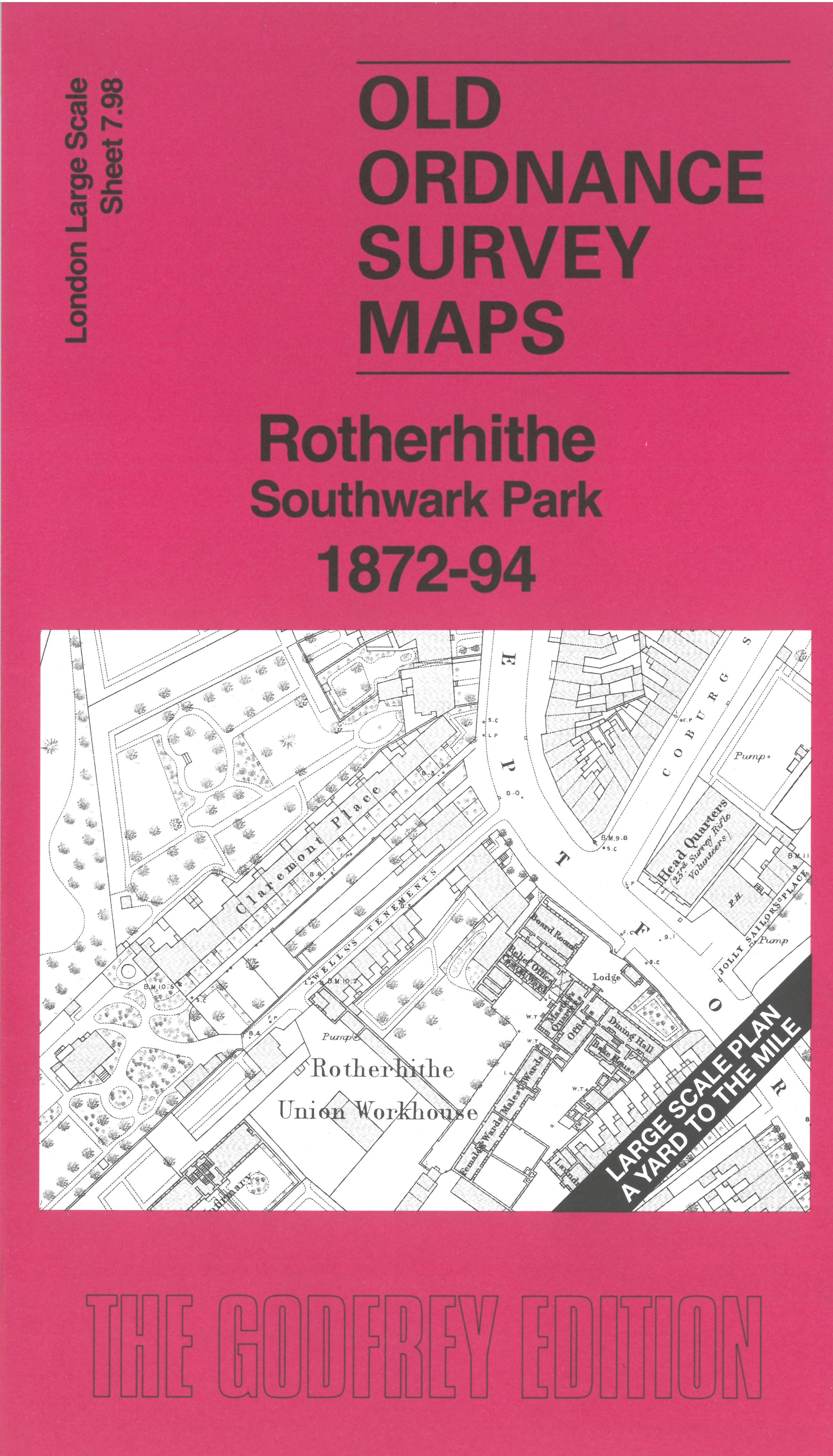
 Here are the details of the map for Rotherhithe Southwark Park:

This very detailed map covers the central part of Rotherhithe around Southwark Park.
Features include Southwark Park, Biscuit Manfactory, Jamaica Level, Christ Church, chapels, schools, Rotherhithe Union Workhouse, Deptford Road, All Saints church, Whitelead & Saltpetre Works, etc.
On the reverse we include the 1894 map, showing the same area at a later stage. We also include an introduction to the history of the area.
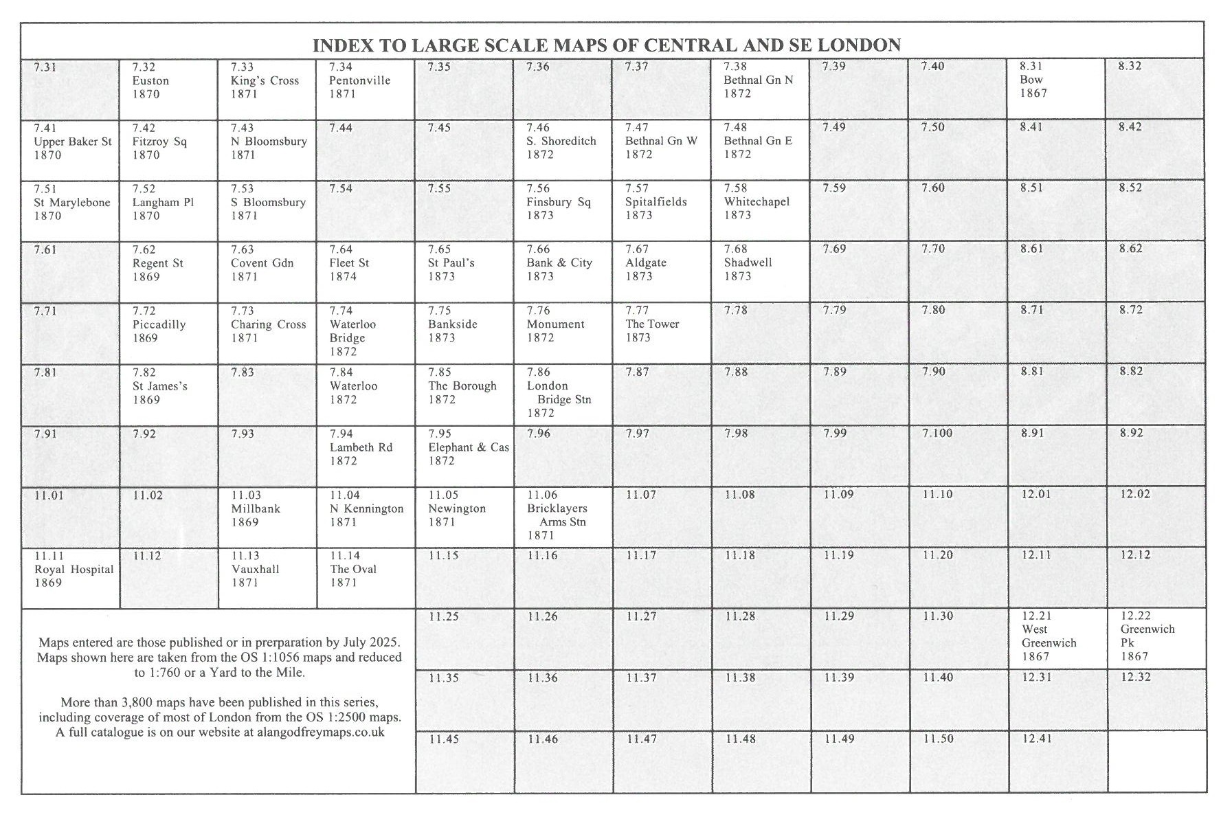
The map links up with sheet 07.88 Rotherhithe & Wapping to the north, 07.97 Bermondsey East to the west and 07.99 Surrey Docks South to the east.