
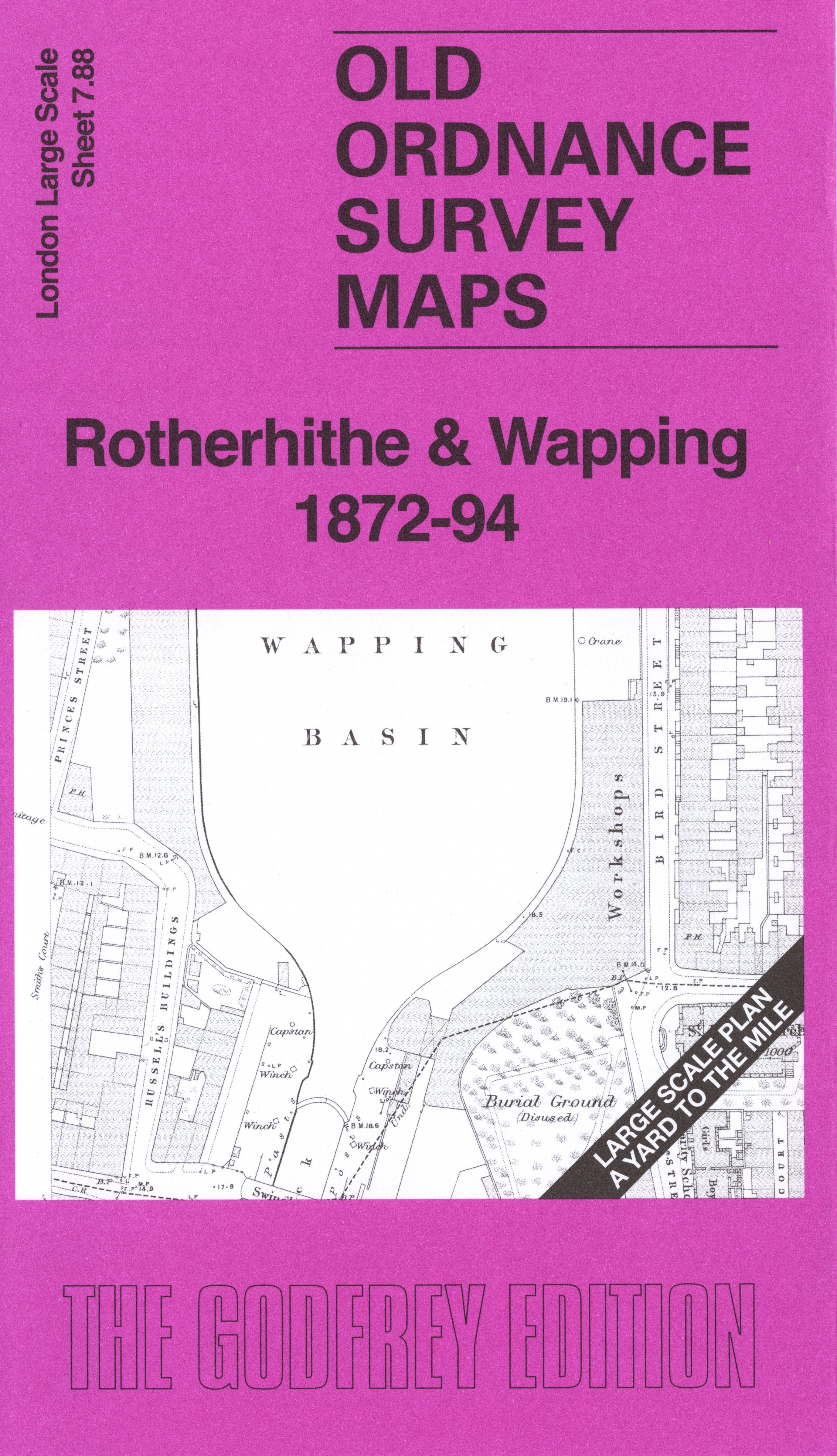
 Here are the details of the map for Rotherhithe & Wapping:

This very detailed map covers the northern part of Rotherhithe and Wapping.
Features include East London Railway with Rotherhithe and Wapping stations, Rotherhithe waterfront, St Mary's church, Rotherhithe Free School, Tunnel Mill, Yardey's Granary, Prince's Stairs, Elephant Stairs, King's Stairs, Rotherhithe Stairs, Police Station, Cherry Garden Pier, Granaries, Wapping waterfront, Wapping Basin, entrance lock, Oliver's Wharf, New Dundee Wharf, Wapping New Stairs, Wapping Workhouse, St John's Church, Cooperage, Tunnel Pier, Soap Works, Warehouses, Tunnel Wharf, chapels, schools etc.
On the reverse we include the 1894 map, showing the same area at a later stage. We also include an introduction to the history of the area.
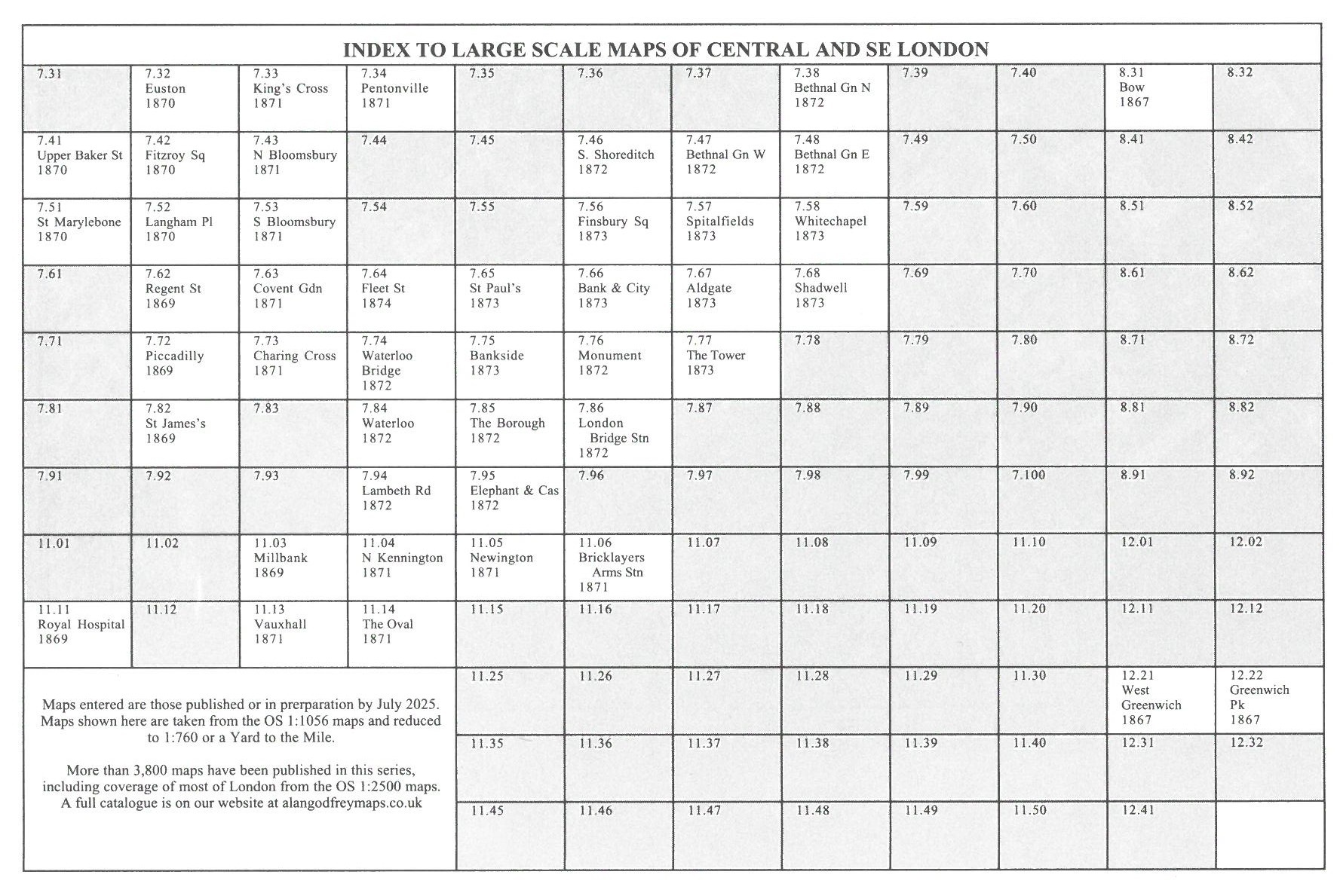
The map links up with sheet 07.98 Rotherhithe Southwark Park to the south and 7.87 Bermondsey NE to the west.