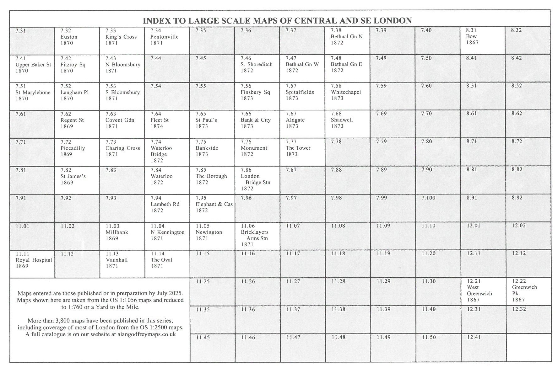
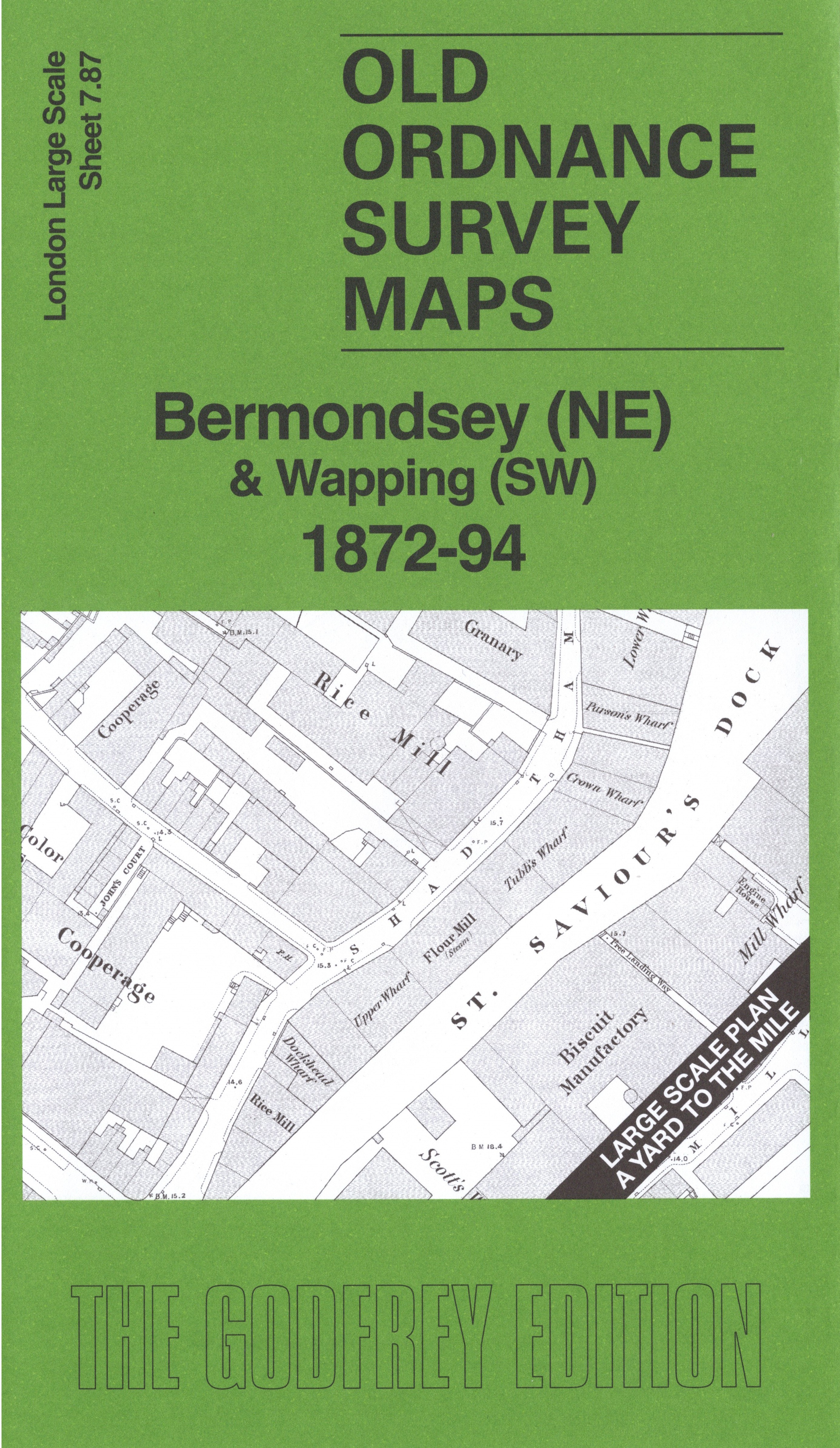
 Here are the details of the map for Bermondsey and Wapping:

This very detailed map covers the NW part of Bermondsey and a small portion of Wapping.
Features include Holy Trinity RC Chapel and Convent, granaries, cooperages, riverside wharfs, biscuit manufactory, Fountain Dock, St Saviour's Dock, Anchor Brewery, Hermitage lock entrance, Hermitage Stairs, etc.
On the reverse we include the 1894 map, showing the same area at a later stage. We also include an introduction to the history of the area.
The map links up with sheet 07.77 The Tower to the north, 07.86 London Bridge Station to the west, 07.88 Rotherhithe & Wapping to the east, 7.97 Bermondsey East to the south.