Old Ordnance Survey Town Plans of London

  • These highly detailed maps, at a scale of 1:1760 or a Yard to the Mile, cover parts of central London in exceptional detail. They are available through our On-line Mapshop

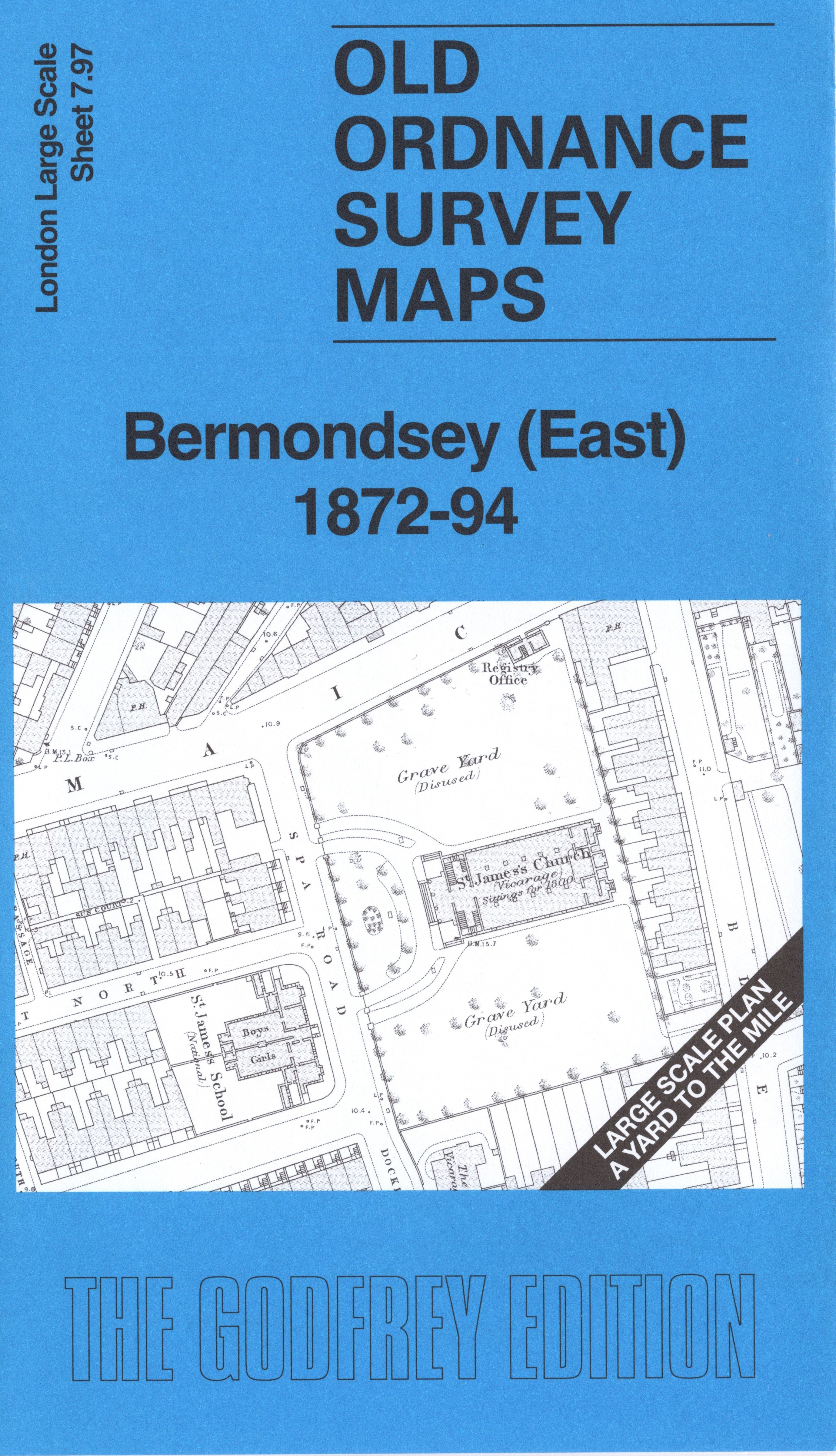
  • Here are the details of the map for Bermondsey East:

  • London Large Scale Sheet 07.97 Bermondsey (East) 1872-94 - published 2026. Intro by Pamela Taylor. ISBN.978-1-78721-962-5

    This very detailed map covers the eastern part of Bermondsey.

    Features include railway with Spa Road station, St James church, Christ Church, Bermondsey Public Baths, many tanneries, Glue and Size Works, chapels, schools etc.

    On the reverse we include the 1894 map, showing the same area at a later stage. We also include an introduction to the history of the area.

    The map links up with sheet 07.88 Rotherhithe & Wapping to the north, 07.97 Bermondsey East to the west and 07.99 Surrey Docks South to the east.
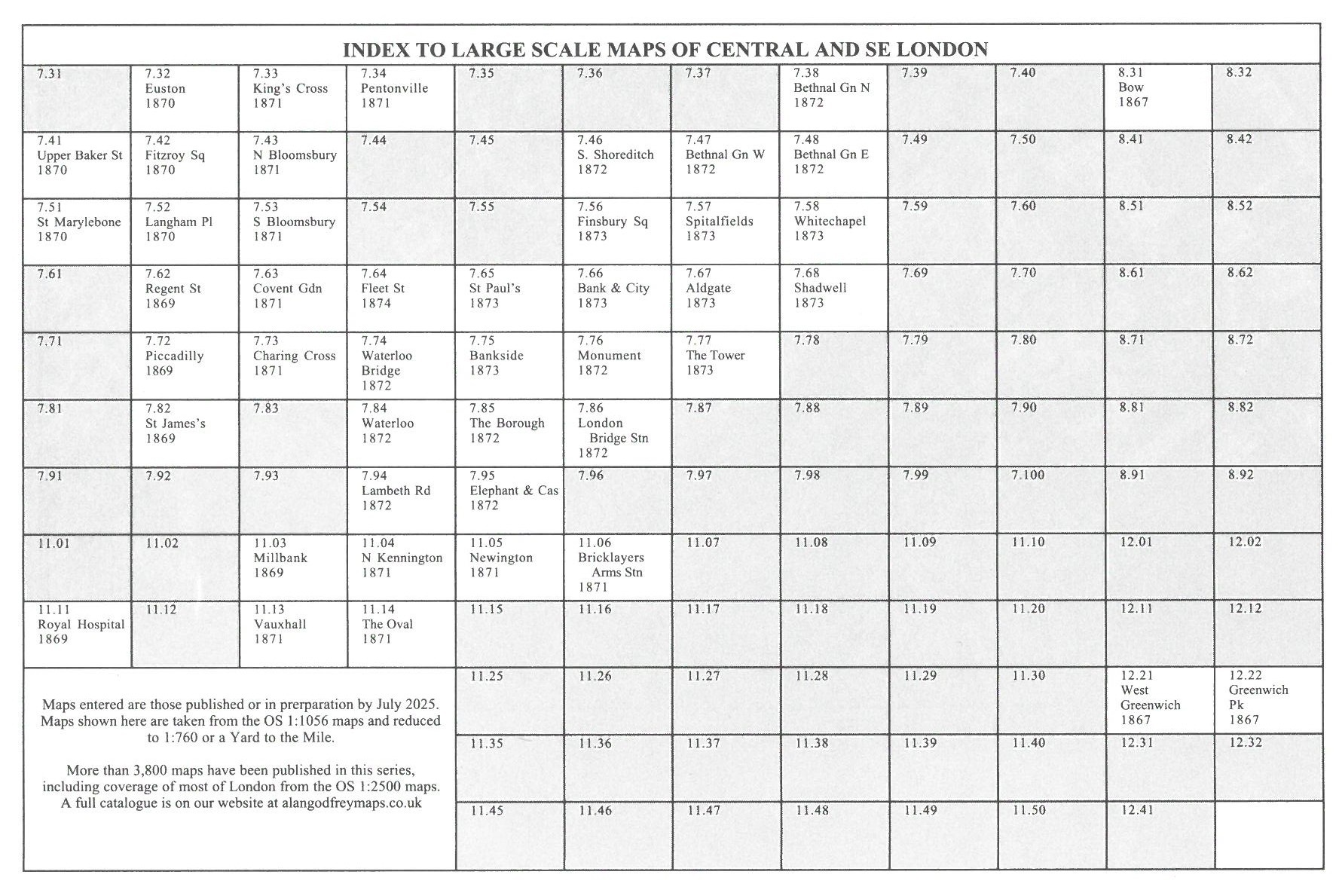

  • For other Town Plans go to the London Town Plans page. Here is an Index Grid
  • For a full list of maps for London and Middlesex, return to the London page.
  • For other information and prices, and other areas, go to The Home Page.
    Alan Godfrey Maps, Prospect Business Park, Leadgate, Consett, DH8 7PW. Tel 01207 583388
    The Godfrey Edition / sales@alangodfreymaps.co.uk / 1 May 2026