 Here are the details of maps for Old Portsmouth:

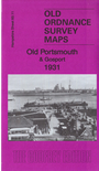
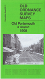
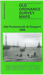
We have published three versions of this map, showing how the area changed across the years. They cover Old Portsmouth and parts of Gosport on the other side of the Harbour. Coverage stretches from Alexandra Road westward to Willis Road and Henry Street, and from Gosport High Street southward to Clarence Pier.
Features include Haslar Royal Naval Hospital, Haslar Lake, Haslar Bridge, Horse Field, Holy Trinity church, High Street on Gosport side. The Point, Inner and Outer Camber, Victoria Pier, Garrison Chapel, Clarence Barracks, Clarence Pier, Cambridge Barracks, Government House, tramways, Colewort Barracks, St Thomas church on the Portsmouth side.
On the reverse of each map we include extracts from contemporary street directories.
Please note that the 1931 version includes some features that are left blank for security reasons on the 1896 and 1908 maps. If you are buying just one version, therefore, you are recommended to choose the 1931 one.
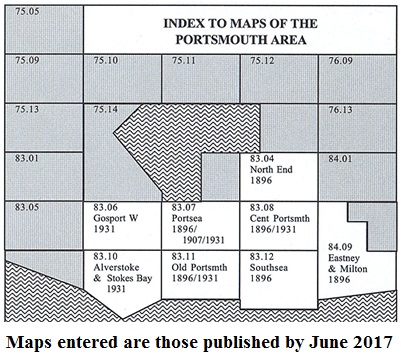
The map links up with Hampshire Sheets 83.07 Portsea to the north, 83.10 Alverstoke to the west and 83.12 Southsea to the east.
You might find this Index Map useful.