
Old Ordnance Survey Maps of Edinburgh
This map is taken from the original OS 1:1056 or 'Five'foot' plan and reduced to a scale of A Yard to the Mile. It shows the area in great detail,
including the interiors of some public buildings. On the reverse we include a 1:500 map from the 1890s, here reduced in scale, showing part of the area at a later stage,
together with a 2,000 word introduction to the history of the area.
They are available through our On-line Mapshop
 Here are the details of our map for Jock's Lodge:
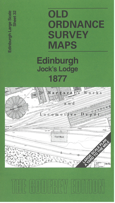
Edinburgh 32 Edinburgh: Jock's Lodge 1877 - published 2025; intro by Alan Godfrey. ISBN.978-1-78721-869-7 
This highly detailed map covers the area around Jock's Lodge where the principal features are Piershill Barracks and the expanse of
St Margaret's Locomotive Depot, shown in detail. Other features include tramways and the Jock's Lodge turnpike.
On the reverse we include 1:500 sheet IV.5.6 covering Jock's Lodge at a later date.
The map links up sheet 31 Holyrood to the west.
Follow this link for a complete list of our Edinburgh maps.
For other information and prices, and other areas, go to The Index Page.
This map is taken from the 5-foot plan and reduced to a scale of a Yard to the Mile.
For a full list of maps for Scotland, return to the Scotland page.
The Godfrey Edition / sales@alangodfreymaps.co.uk / 13 June 2025
 Here are the details of our map for Jock's Lodge: