
 Here are the details of maps for Edinburgh (SW):

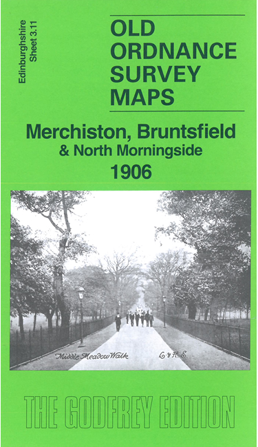
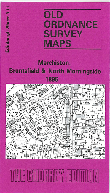
We have published two versions of this map, showing how the area changed across the years. They cover a busy area of south Edinburgh, with coverage stretching from Dalry eastward to West Meadow Park, and from Toll Cross and Panmure Place southward to Falcon Avenue.
Features on the map include Caledonian Railway with engine sheds, Dalry Junction, Granton Junction; tramways; Bruntisfield House, Bruntsfield area, Bruntsfield Links, Viewforth area, Whitehouse area, Merchiston Castle, Harrison Park, Merchiston area, Dalry Cemetery, Fountain Brewery, Dundee Street area, Lochrin area, Lauriston area, Union Canal.
The map links up with Edinburgh Sheets 3.07 Central Edinburgh to the north, 3.10 Gorgie to the west, 3.12 Newington to the east and 3.15 Morningside to the south.