
 Here are the details of maps for central Edinburgh

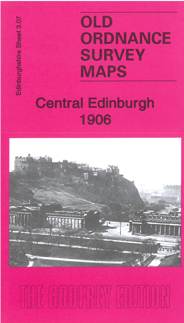
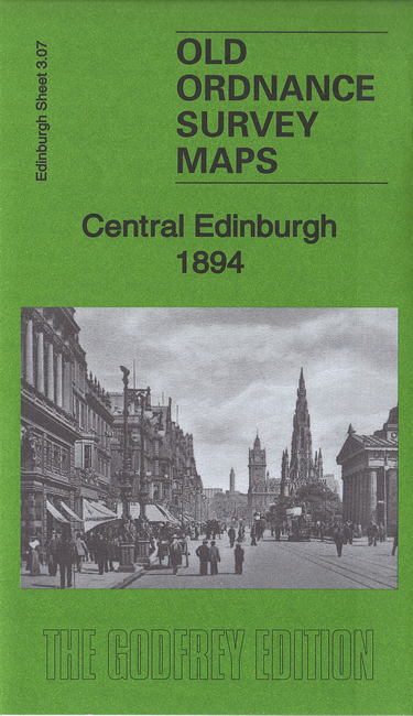
We have published two versions of this map, showing how the area changed across the years. The maps cover much of central Edinburgh, with coverage stretching from Waverley Bridge westward to Belford Road and from Lauriston Place northward to Cumberland Street.
Features include St Giles Cathedral, The Castle, Princes Street station, western end of Waverley station, Haymarket station, most of Princes Street, most of the New Town around George Street, National Gallery, Grassmarket, Charlotte Square, Belgrave Crescent Gardens, Donaldson's Hospital, Ravelston area, Daniel Stewart's College, Coates area, Moray Place, St Andrew Square, National Portrait Gallery, tramways, Royal Infirmary, St George's church, Queen Street Gardens and much more. On the reverse we include street directory entries for Princes Street, Queen Street, Queensferry Street.
The map links up with Edinburgh Sheets 3.03 Inverleith to the north, 3.06 Murrayfield to the west, 3.08 Holyrood to the east, 3.11 Merchiston to the south.