Co Durham Sheet 21.16 Easington Colliery 1939 - published 2026; intro by Alan Godfrey. ISBN.978-1-919015-00-2 
This detailed map is double-side for maximum coverage and gives good coverage of Easington Colliery.
Features include railway with station, Easington Colliery, village with individual houses neatly shown, Aerial Cable, sidings, cinema,
Miners Welfare Recreation Ground, chapels and churches, Baths, etc.
The map links up with sheet 21.15 Easington Village to the west and 28.08 Horden to the south.
Follow this link for a complete list of our Durham maps.
For other information and prices, and other areas, go to The Index Page.
Maps in the Godfrey Edition are taken from the 25 inch to the mile map and reduced to about 15 inches to the mile.
For a full list of maps for England, return to the England page.
Alan Godfrey Maps, Prospect Business Park, Leadgate, Consett, Co Durham, DH8 7PW / sales@alangodfreymaps.co.uk / 26 August 2026

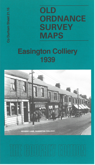 Here are the details of maps for Easington Colliery: