Old Ordnance Survey Maps of Yorkshire

  • These detailed maps normally cover an area of about one and a half miles by one mile. Each map includes an introduction.
  • They are available through our On-line Mapshop

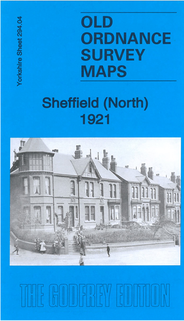
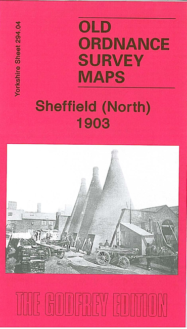
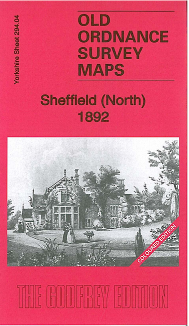
  • Here are the details of maps for north Sheffield:

  • Yorkshire 294.04a Sheffield (North) 1892 - published 2011, intro by Melvyn Jones. ISBN.978-1-84784-540-5
  • Yorkshire 294.04b Sheffield (North) 1903 - published 1985, revised with new directory 2007; intro by Trevor Lodge. ISBN.978-0-85054-028-4
  • Yorkshire 294.04c Sheffield (North) 1921 - published 2021; intro by Melvyn Jones. ISBN.978-1-78721-396-8

    We have published three versions of this map, showing how the area changed across the years. The 1892 version is colour printed, taken from the beautiful 1st Edition OS handcoloured edition. Each map covers the Shirecliffe, Pitsmkoor, Osgathorpe and Burngreave area, including the busy industrial area along Carlisle Street.

    Features include Atlas Steel & Iron Works, Norfolk Steel & Iron Works, Brightside Boiler Works, Grimesthorpe area, Osgathorpe House, Burngreave Cemetery, Shirecliffe Hall, Firs Hill etc.

    The map links up with Sheets 288.16 Sheffield Longley to the north, 294.03 Sheffield Neepsend to the west, 295.01 Attercliffe to the east and 294.08 Sheffield to the south.


  • You can order maps direct from our On-line Mapshop. For other information and prices, and other areas, go to The Index Page.
  • Maps in the Godfrey Edition are taken from the 25 inch to the mile map and reduced to about 15 inches to the mile. Follow this link for a complete list of our Sheffield maps; or here for the whole Yorkshire series.
    Alan Godfrey Maps, Prospect Business Park, Leadgate, Consett, Co Durham, DH8 7PW / sales@alangodfreymaps.co.uk / 29 Dec 2020