

 Here are the details of maps for Stourbridge (South):

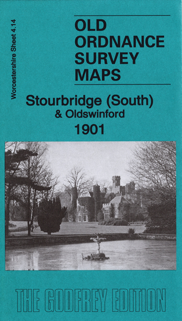
We have published two versions of this map, showing how the area developed across the yars. The maps cover the southern half of Stourbridge, together with Old Swinford, and part of Upper Swinford. Coverage stretches from Witton Street and Clifton Street eastward to Pedmore Road, and from Greenfield Avenue southward to Worcester Lane.
Features include GWR line with Stourbridge Junction station, section of Stourbridge Town branch, Old Swinford Hospital, Studley Court, Promenade Gardens, Heath area, Old Swinford area, Prescott House, Chaw Hill area, Hungary Hill Mines, Pepperhill Works, New Farm Mines, St Mary's church, etc.
The map links up with Worcestershire sheets 4.10 Stourbridge North to the north and 9.02 Pedmore to the south.