
 Here are the details of maps for Gravelly Hill:


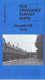
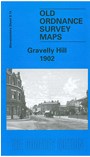
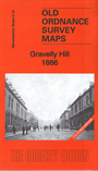
We have published three versions of this map, showing how the area changed across the years. The 1886 version is fully coloured, taken from the beautiful 1st Edition OS handcoloured map.
The maps cover the area around what is today Spaghetti Junction, including the eastern part of Aston, southern part of Erdington and northern Nechells. Coverage stretches from Grosvenor Road Aston eastward to Erdington Hall, and from Perry Barr Locks southward to Malvern Hill Road.
Features include LNWR railway with Aston station, engine shed, Stechford Branch Junction, Sutton Junction, part of Sutton Coldfield Branch; a small stretch of Midland Railway with Washwood Heath Sidings; tramways, Tame Valley Canal, Birmingham & Fazeley Canal, Park Mills, sewage farm, Essex Works, tube works, Aston Reservoir, Electrical Works, Salford canal junction, Birmingham & Warwick Jct Canal, etc. On the reverse we include selections of early directory entries.
The map links up with sheets 8.10 Erdington West to the north, 8.13 Aston Manor to the west, 8.15 Bromford Bridge to the east and 14.02 Saltley to the south.