 Here are the details of maps for Gosforth:

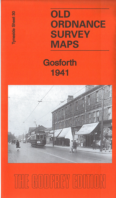
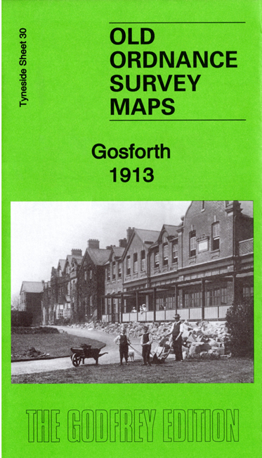
We have published two versions of this map, showing how the area changed across the years.
The map covers South Gosforth, central Gosforth and the area westward to St Nicholas Hospital. Features include railway with South Gosforth and West Gosforth stations, Electric Car Sheds, tramways, St Nicholas church, Salters Bridge, All Saints church, part of City Mental Hospital (St Nicholas Hospital), Sanderson Orthopaedic Hospital, mineral railway, former Coxlodge Wagonway, County Ground etc.
The 1913 version was our 100th title, published in 1985. We have now republished it, rescanned and with a new, extended introduction.
Gosforth was an independent urban district until 1974, when it was absorbed into the new Newcastle Metropolitan Borough.
The map links up with Tyneside Sheets 31 Longbenton to the east and 4 Jesmond to the south.
Maps in the Godfrey Edition are taken from the 25 inch to the mile map and reduced to about 15 inches to the mile. For a full list of maps for the North East, return to the North East page.
The Godfrey Edition / sales@alangodfreymaps.co.uk / 28 March 2020