 Here are the details of maps for Jesmond:

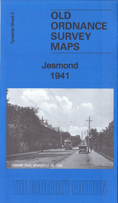
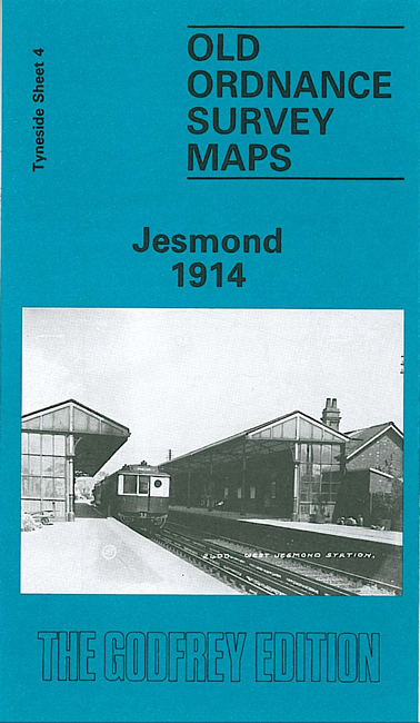
We have published three versions of this map, showing how the area changed across the years. Coverage stretches from Burdon Terrace northward to Lodore Road.
Features include West Jesmond area with West Jesmond station (1914 map), Fleming Memorial Hospital, Northern Counties Orphanage, Northern Counties Deaf & Dumb Institution, St Andrew's cemetery, St Hilda's church, tramways, St George's church, Jesmond Towers, Jesmond Dene House, Jesmond Dean, Town Moor, smallpox hospital, Kenton Lodge, Dukes Moor, etc.
The map links up with Tyneside Sheet 30 Gosforth to the north, Tyneside Sheet 5 High Heaton to the east, Tyneside Sheet 11 Central Newcastle to the south.
Maps in the Godfrey Edition are taken from the 25 inch to the mile map and reduced to about 15 inches to the mile. For a full list of maps for the North East, return to the North East page.
The Godfrey Edition / sales@alangodfreymaps.co.uk / 26 May 2018