 These are the maps we publish for Rutland:

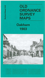
Though the most important town in the county, Oakham was always relatively small and did not achieve borough status. However, the town did have the attributes of a county town, with the Assizes held in the Castle and a good range of shops and offices. Our map captures most of the town, and includes an introduction, along with a good contemporary directory.
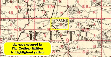
This index map might be useful.
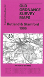 We also publish a One Inch to the Mile map covering most of the county:
For further details of our One Inch maps visit the the One Inch page
