
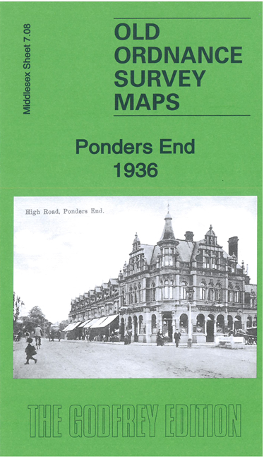
 Here are the details of maps for Ponders End:
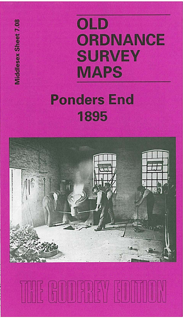

We have published two versions of this map, showing how the area changed across the years.
The maps cover the Ponders End area of Enfield. They covers an area from Churchbury station eastward to the Mare Dyke, and show a semi-industrial area gathered around a few roads: Hertford Road running north-south, and The Ride, Nags Head Road and South Street running west-east. Features include Churchbury and Ponders End stations, the River Lea with Ponders End Lock, Corticine Works, White Lead Works, Flour Mill, nurseries, Durants Arbour, South Marsh. Each map includes extracts from a contemporary dirctory.
The map links up with Middlesex Sheets 7.04 Enfield Highway to the north, 7.07 Enfield South to the west, and London Sheet 2 Edmonton Picketts Lock to the south.
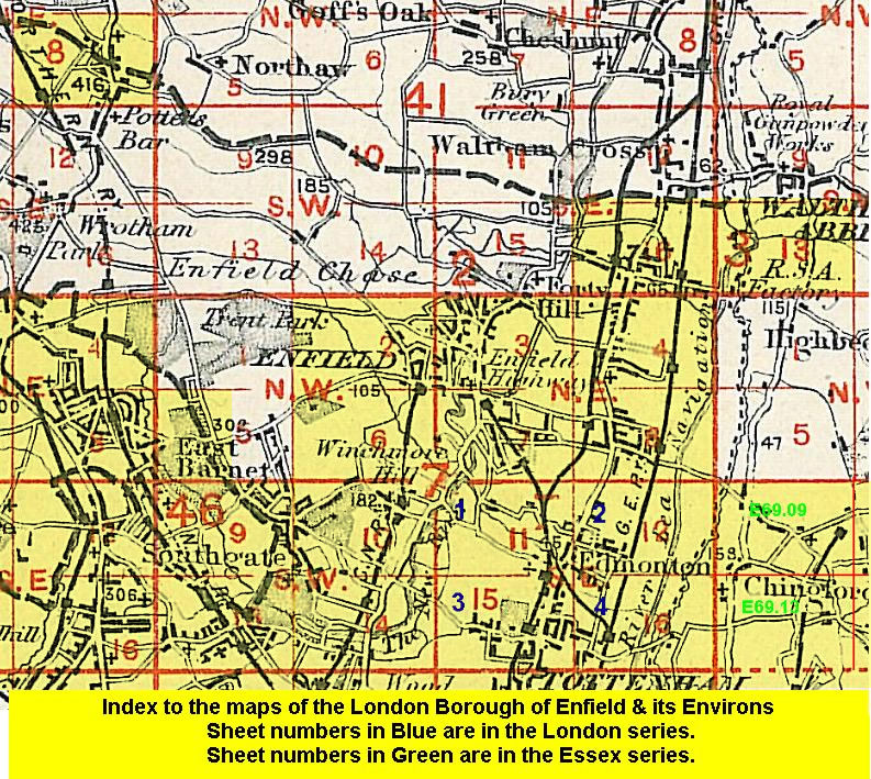 Follow this link for a list of our maps for the London Borough of Enfield, or here for a complete list of our London maps .