Old Ordnance Survey Maps of Wembley


We have published more than 2,100 maps in our series of Old Ordnance Survey Map reprints, some 300 of them in the London area. The maps are highly detailed. They are taken from the OS 1:2,500 (or 25 inch) maps and reduced to about 15 inches to the mile. They show streets with individual houses, tram tracks, railway tracks and even signals, factories, wharves and such details as fountains and water troughs. They will provide hours of fascination for historians and genealogists. The maps are neatly folded and each includes a specially written introduction to the area. Maps can be purchased on our On-line Mapshop where further information about titles is given. For other information and Prices, see Index Page.


Here are the details of maps for Wembley:
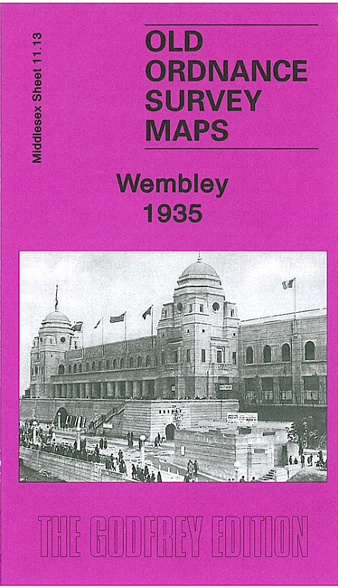
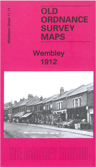
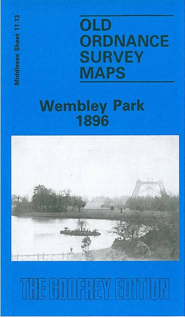
  • Middlesex Sheet 11.13 a Wembley Park 1895 - published 1987; introduction by Geoffrey Hewlett
  • Middlesex Sheet 11.13 b Wembley 1935 - published 2007; introduction by Alan Godfrey

    We have published two versions of this map, covering the same area but with immense differences. This is an area that continues to change, with the building of the new Wembley Stadium. Wembley Park dominates the 1895 map, including cricket ground, Variety Hall, running track and the Wembley Tower. In the SW corner is Sudbury & Wembley (now Wembley Central) station, while at the north of the map is Wembley Park station on the Metropolitan line. Outside Wembley Park all is rural, with two farms. The 1935 map is dominated by the Wembley Park of the 1924 British Empre Exhibition, and includes the Empire Stadium, Palaces of Engineering and Industry, LNER Stadium Loop, Neverstop Railway, Empire Pool, housing development around Chalkhill House, GEC's Hirst Laboratories, Wembley Hill. A street directory of High Road and Wembley Park Drive is on the reverse.

    An index map showing the areas covered by this and adjacent maps is available here.

    The map links up with Midlesex Sheet 10.16 Sudbury to the west and London Sheet 25 Neasden to the east.


    Follow this link for a complete list of our London & Middlesex maps.

    You can order maps direct from our On-line Mapshop. For other information and Prices, see Index Page.


    Maps in the Godfrey Edition are taken from the 25 inch to the mile map and reduced to about 15 inches to the mile. For a full list of maps for London, return to the London page

    The Godfrey Edition / godfreyedition@btinternet.com / June 2008