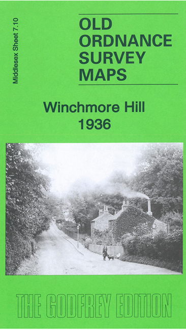
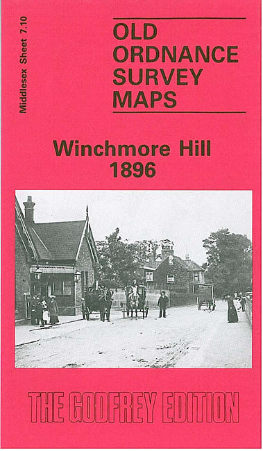
 Here are the details of maps for Winchmore Hill:

We have published two versions of this map, showing how the area changed across the years.
The maps cover Winchmore Hill, stretching from Memorial Terrace and Vicars Moor Lane southward to Stonard Road, and east to the New River and Highfield Row
Features include railway with Winchmore Hill station, St Bartholomew's Athletic Ground, The Green, Roseneath House, Highfield House, tramway, Grovelands Park, Royal Northern Hospital, cinemas, churches and chapels, Green Dragon Hotel, etc.
The map links up with Middlesex Sheets 7.06 Enfield Chase to the north, 7.09 East Barnet to the west, 7.14 Palmers Green to the south, and London Sheet 1 Lower Edmontonto the east.
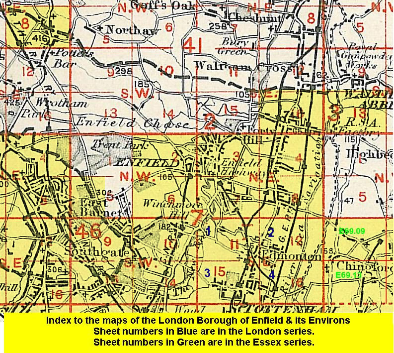 Follow this link for a list of our maps for the London Borough of Enfield, or here for a complete list of our London maps .