Old Ordnance Survey Maps of Greater Manchester

  • These detailed maps normally cover an area of about one and a half miles by one mile. Each map includes an introduction.
  • They are available through our On-line Mapshop

  • Here are the details of maps for Northenden:

  • Lancs 111.14a Northenden 1916 - published 2020; intro by Chris Makepeace. ISBN.978-1-78721-337-1
  • Lancs 111.14b Northenden 1934 - published 2020; intro by Chris Makepeace. ISBN.978-1-78721-363-0

    We have published two versions of this map, showing how the area changed across the years. The maps cvover an area being transferred from Cheshire to Manchester, as part of the Wythenshaw area.

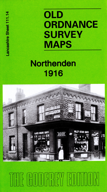
    Features include railway with Northenden station, Rose Hill Ophthalmia School, most of Northenden village, St Wilfrid's church, River Mersey, Royalthorn, Moorend etc.

    The map links up with sheets 111.10 Didsbury Palatine Rd to the north, 111.15 Cheadle North to the east, 111.13 Baguley to the west


  • Follow this link for a complete list of our Manchester or Salford maps.
  • You can order maps direct from our On-line Mapshop. For other information and prices, and other areas, go to The Index Page.
  • Maps in the Godfrey Edition are taken from the 25 inch to the mile map and reduced to about 15 inches to the mile. For a full list of maps for the North West, return to the North West page.
    The Godfrey Edition / sales@alangodfreymaps.co.uk / 8 October 2020