Old Ordnance Survey Maps of Hindley


We have published more than 2,100 titles in our series of Old Ordnance Survey Map reprints, including a large group in Lancashire and several around Wigan. The maps are highly detailed. They are taken from the OS 1:2,500 (or 25 inch) maps and reduced to about 15 inches to the mile. Each covers an area of a mile and a half by a mile. They show streets with individual houses, tram tracks, railway tracks and even signals, factories, wharves and such details as fountains and water troughs. They will provide hours of fascination for historians and genealogists. The maps are neatly folded and each includes a specially written introduction to the area. Maps can be purchased on our On-line Mapshop where further information about titles is given. Or visit The Index Page for a full list to the series and details of Prices.


Here are the details of maps for Hindley:
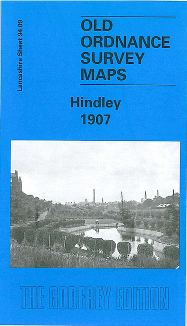
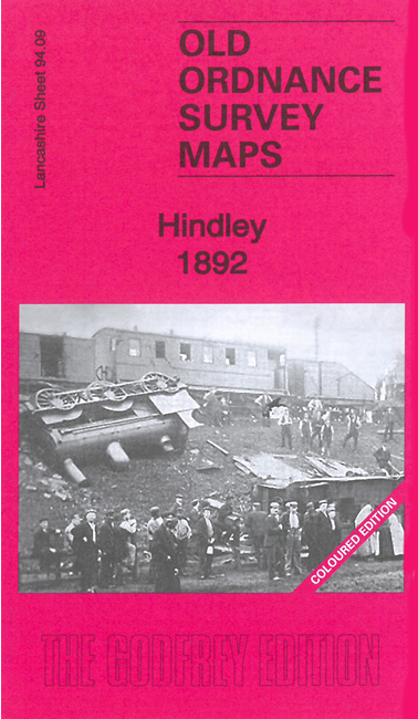
  • Lancashire Sheet 94.09 Hindley 1907 - published 2001; intro by Alan Godfrey

    This highly detailed map covers much of Hindley, just east of Wigan. Coverage stretches from Walmesley Park (in top left corner) eastward to Chapel Fields and southward to Low Green. The many features include a stretch of the LNWR Lancashire Union line, a stretch of the GCR Wigan Junction Branch incl Hindley & Platt Bridge station and Amberswood East and West Curves, small stretches of LYR lines in top corner, Strangeways Hall Collieries, Strangeways House, Hindley Hall Colliery, Amberswood Common, Moss Hall, Moss Colliery, Riding Mine Colliery, Borsdane Brook, St Peter's church and Hindley town centre, Platt Lane Mill, Worthington Mills, Bleach Works, tramways, Grange Colliery, All Saints church, Grammar Pit, Ladies Lane Sale Yard etc. We include a commercial directory for Hindley on the reverse.

    The map links up with sheets 94.05 Kirklees to the north, 93.12 Ince in Makerfield to the west, 94.13 Platt Bridge to the south.


    Follow this link for a complete list of our Wigan area maps.

    You can order maps direct from our On-line Mapshop. For other information and prices, and other areas, go to The Index Page.


    Maps in the Godfrey Edition are taken from the 25 inch to the mile map and reduced to about 15 inches to the mile. For a full list of maps for the North West, return to the North West page.

    The Godfrey Edition / godfreyedition@btinternet.com / 15 April 2008