

 Here are the details of maps for Rochdale:


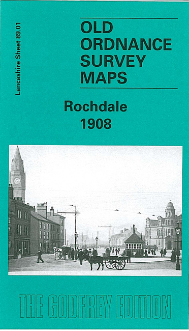
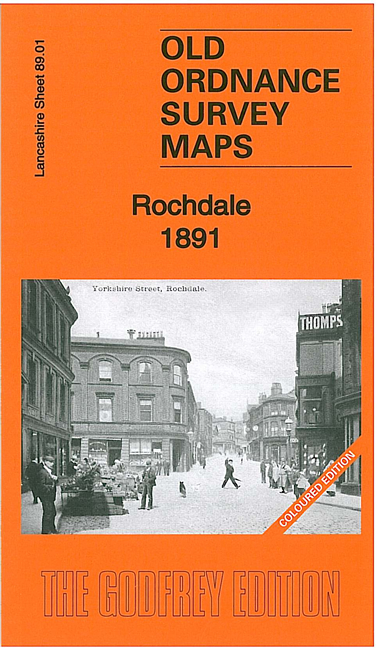
We have published three versions of this map, showing how the area changed across the years. The 1891 version is in full colour, taken from the beautiful 1st Edition OS handcoloured map.
They cover the central area of Rochdale, and an area to the east. Coverage stretches from Lord Street and St Mary's Gate eastward to Firgrove Bridge, and from Grasmere Street southward to Bilberry Street. The many features include most of the town centre in detail (with all individual buildings shown), St Mary's church, New Market Hall, Butts Mill, Rochdale Bridge, tramways, Town Hall, Broadfield Park, railways (but station is just off to the south), Wardleworth station and part of Facit Branch, Town Head, Public Baths, Croft Mill, Clover Mill, Roach Carriage Works, Belfield Print Works, athletic grounds, Canal Wharf, Belfield, Newbold Brow, Newbold, Waith Lane, St Ann's church, Firgrove Mill, Lowfield Mill with stretch of Rochdale Canal. On the reverse we include various directory extracts.
The map links up with Lancashire Sheets 88.04 Rochdale West to the west, 81.13 Rochdale North to the north, 89.05 Rochdale South to the south.