
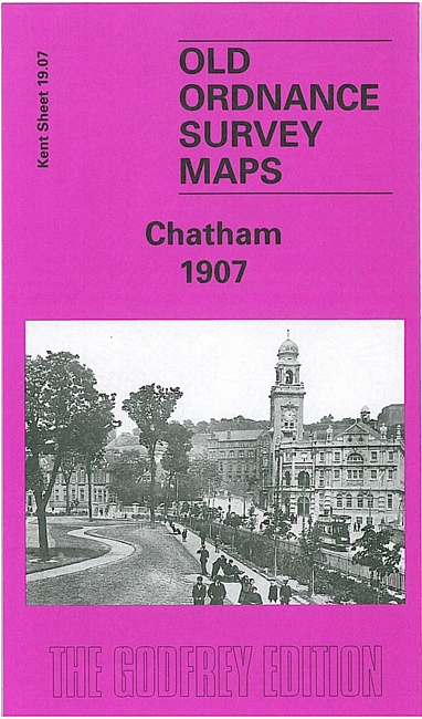
 Here are the details of maps for Chatham:

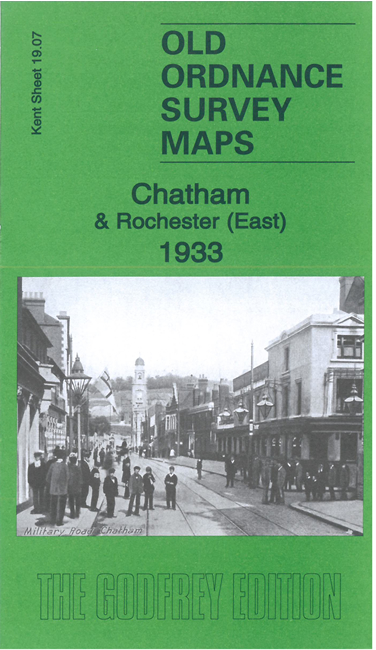
We have published two versions of this map, showing how the area developed across the years. The 1933 also shows part of the dockyard in detail, with that area normally left blank for security reasons.
The map covers most of Chatham town centre together with part of Rochester, with coverage stretching from Eastgate and Delce Road eastward to Chatham Hill, and from Ordnance Place northward to the Kitchener Barracks.
The many features (from 1933 map) include Chatham town centre, with individual buildings shown, Rochester station, Chatham Goods Depot, St Peter's church, Technical School, wharves and piers on the Medway, Victoria Gardens, Chatham station, Town Hall Gardens, The Paddock, Sun Pier, St John's church, Blue Boar Pier, part of Royal Naval Hospital, Gun Wharf, Southill Barracks, etc. The 1933 version also includes part of the dockyard shown in detail, with Prince William Bastion, Belvedere Battery, Garrison Church, St Mary's church, Kitchener Barracks etc. On the earlier map much of the dockyard is left blank for security reasons.
The map links up with sheet 19.03 Chatham Dockyard to the north.