
 Here are the details of maps for Chatham Dockyard:

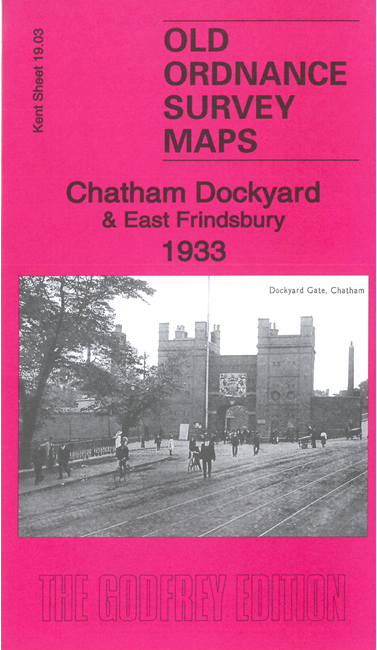
This map shows Brompton and much of Chatham Dockyard in detail. It also extends westward to part of Frindsbury on the W bank of the Medway.
The many features include Brompton Barracks, School of Military Engineering, docks, Royal Engineer Park, Chatham Dockyard Railway, mast pond, Basin No. 1 (at top of map), Main Gate, Alexandra Gate, St George's church etc and is remarkable for showing such detail of a naval and military site. On the W bank of the Medway it shows Crown & Quarry Cement Works, Gashouse Point, All Saints church, Whitewall Creek, saltings etc.
The map links up with sheet 19.07 Chatham to the south.