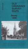
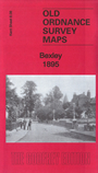
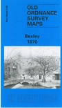
 Here are the details of maps for Bexley:

We have published three versions of this map, showing how the area changed across the years. They cover the area from Bridgen and Hurst eastward to the village of Bexley.
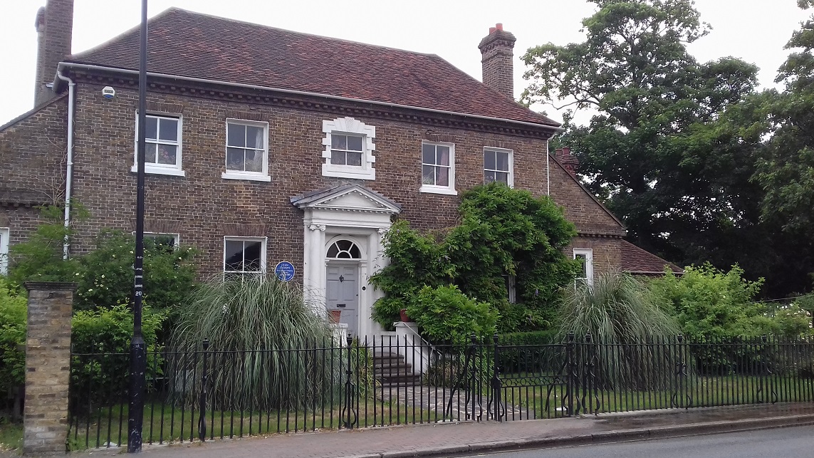
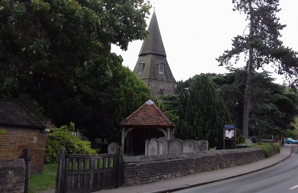
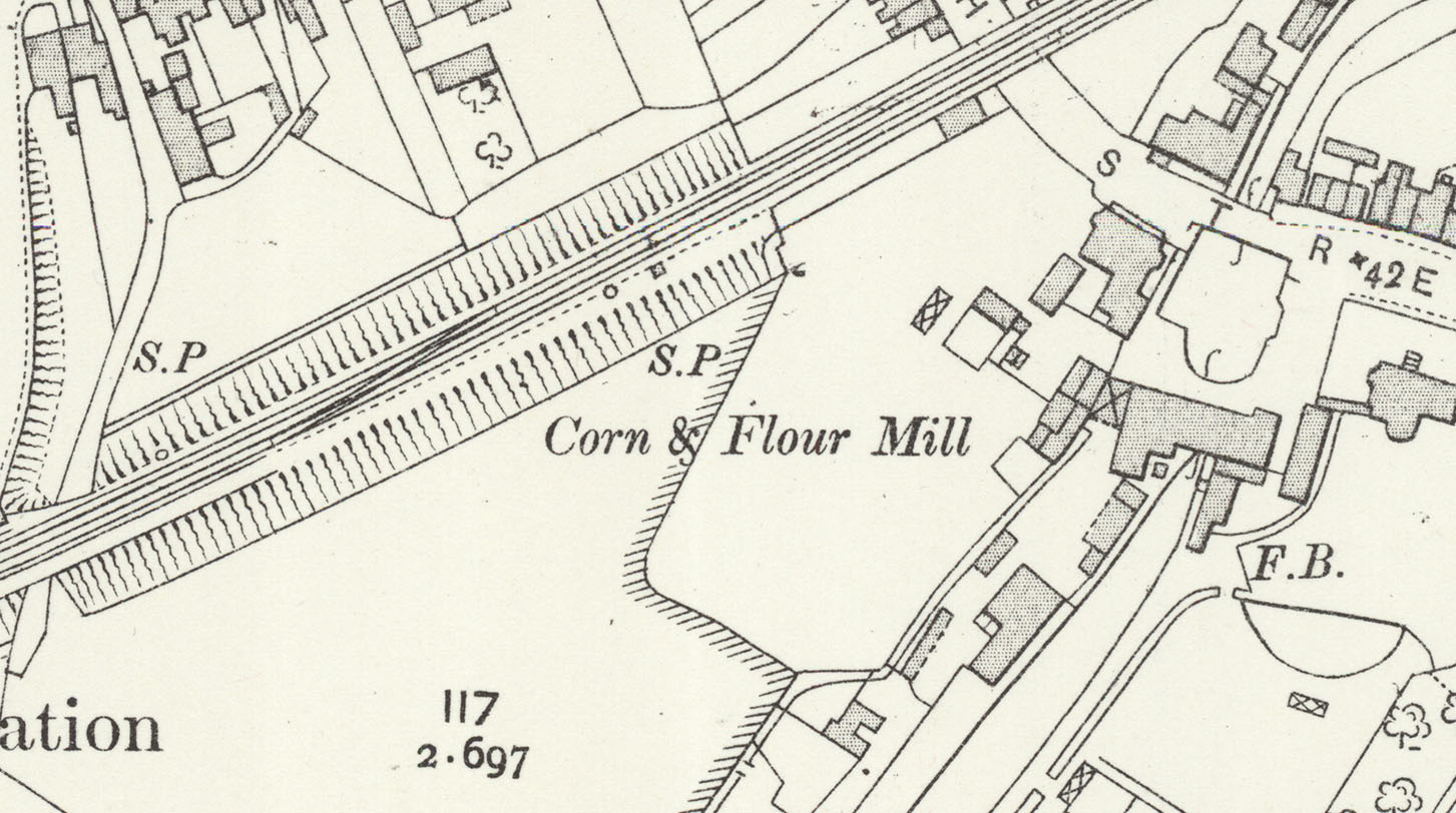
Features include 'Old Bexley' village with individual buildings neatly shown, railway with station, St Mary's church, Manor House, Corn and Flour Mill, St John's church, Styleman's Almshouses, Freemantle Hall, Vale Mascal, chapels, Hurst, Bridgen Place, Bexley Park Wood etc.
The map links up with Kent Sheets 8.04 Bexley Heath to the north, 8.07 Lamorbey to the west, 8.12 North Cray to the south.
Further information:
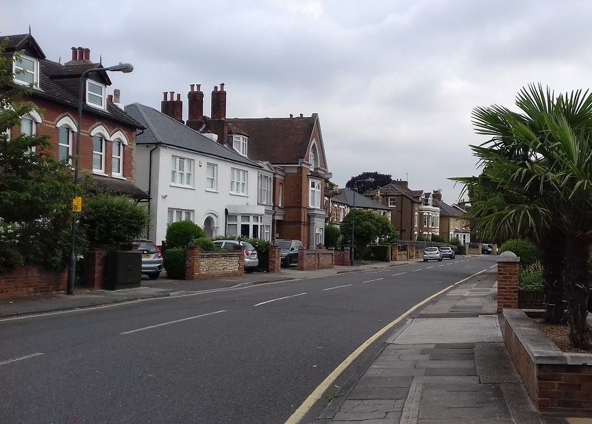
Bexley, recorded as Byxlea in 814, takes its name from the stream or 'becc' that runs through it and seems always to have been regarded as a large village rather than a town. A Local Board was formed in 1880 and it duly became an urban district in 1894, giving it a measure of self government, and the railway led to its gradual growth as an upmarket commuter village. However, the council offices were in Bexleyheath, and the population of Bexley itself was only around 3,500. The parish church, the Grade II* listed St Mary's, has a history going back before the Domesday Book, but there was a major restoration by Basil Champneys in 1883. The village's one significant industry was brewing, with the Reffell Bexley Brewery, which was taken over by Courage and Barclay in 1956 and closed almost immediately.
 .
.
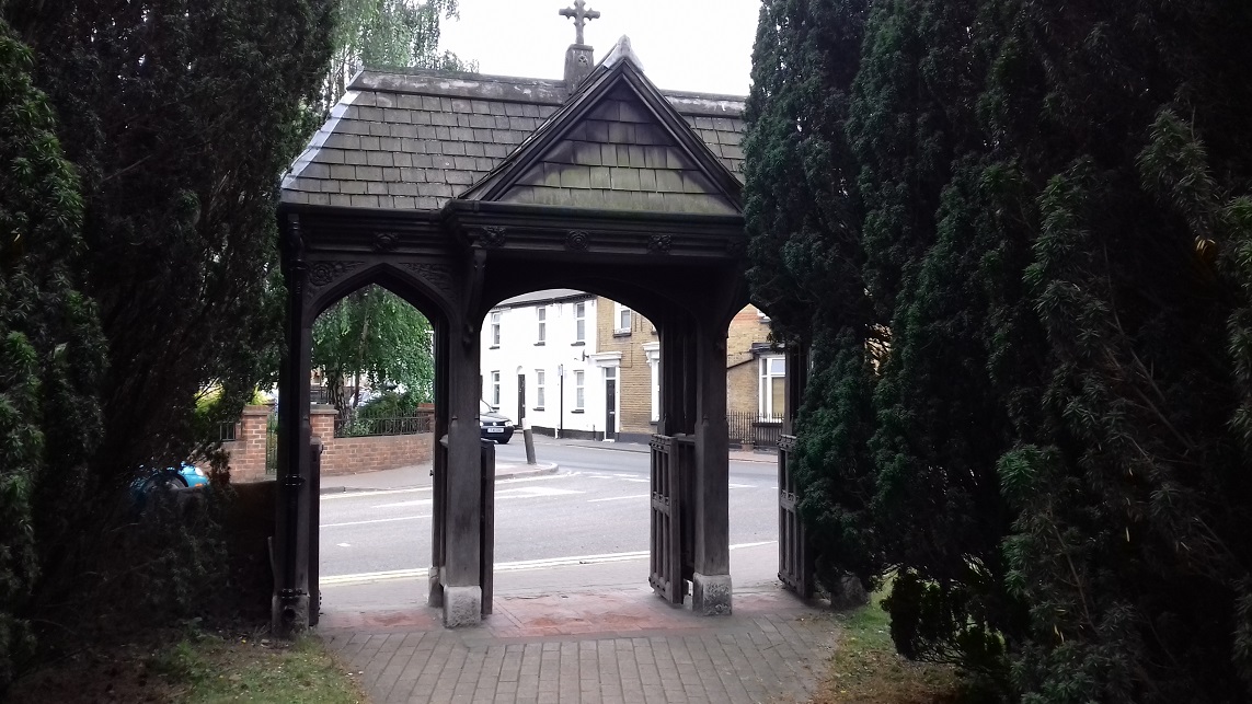
"Near the entrance to this conservation area is St John’s church, also Grade II listed, designed by George Low (1825?-1906). The church was founded as a chapel of ease to St Mary’s in 1878, at a time when the population was rising following the opening of the railway. Sunday services for the villagers of Blendon, Bridgen and Upton were held in a schoolroom at Bridgen but a more permanent building was required, especially in view of the house-building in Parkhurst Road. The foundation stone for the new church was laid by Mrs Arbuthnot of Bridgen Place on 23rd March 1881 and the church was consecrated on 23rd June 1882 by the Archbishop of Canterbury. The spire, which remains a notable landmark, was added in 1890 and the clock, designed so that it could be seen from the station, was installed the following year. St John’s remained a daughter church to St Mary’s until 1936, when it became a parish in its own right."