Old Ordnance Survey Maps of London

  • These detailed maps maps normally cover an area of about one and a half miles by one mile. Each map includes an introduction. The Middlesex maps link up with those for London to form a major series for the Greater London area. They are available through our On-line Mapshop

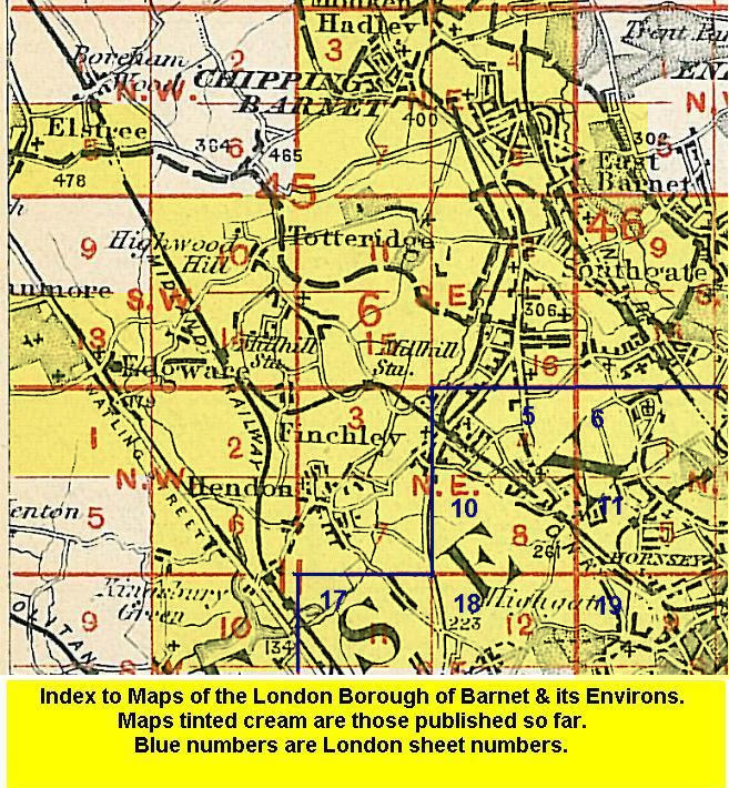
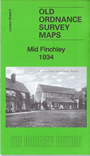
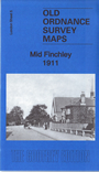
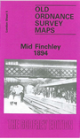
  • Here are the details of maps for Mid Finchley:

  • London Sheet 5a Mid Finchley 1894 - published 1991; intro by Pamela Taylor. ISBN.978-0-85054-057-4
  • London Sheet 5b Mid Finchley 1911 - published 2015; intro by Pamela Taylor. ISBN.978-1-84784-913-7
  • London Sheet 5c Mid Finchley 1934 - published 2016; intro by Pamela Taylor. ISBN.978-1-78721-012-7

    We have published three versions of this map, showing how the area changed across the years. They cover the area from Finchley station eastward to St Pancras & Islington Cemetery.

    Features include Great North Road, Ballards Lane, tramways, Avenue House, GNR High Barnet Branch with Finchley station, Brent Lodge, Claigmar Vineyard, Fallow Corner, Green Man pub, Etchingham Lodge, Strawberry Vale House, Victoria Recreation Ground etc. Each includes extracts from early directories.

    The map links up with Middlesex Sheets 6.16 North Finchley to the north and 11.03 Finchley & Holders Hill to the west; and with London Sheets 6 Alexandra Park to the east and 10 East Finchley to the south.


  • Follow this link for a list of our maps for the London Borough of Barnet, or here for a complete list of our London maps .
  • You can order maps direct from our On-line Mapshop. For other information and prices, and other areas, go to The Index Page.
  • Maps in the Godfrey Edition are taken from the 25 inch to the mile map and reduced to about 15 inches to the mile. For a full list of maps for England, return to the England page.
    Alan Godfrey Maps, Prospect Business Park, Leadgate, Consett, Co Durham, DH8 7PW / sales@alangodfreymaps.co.uk / 15 January 2018