
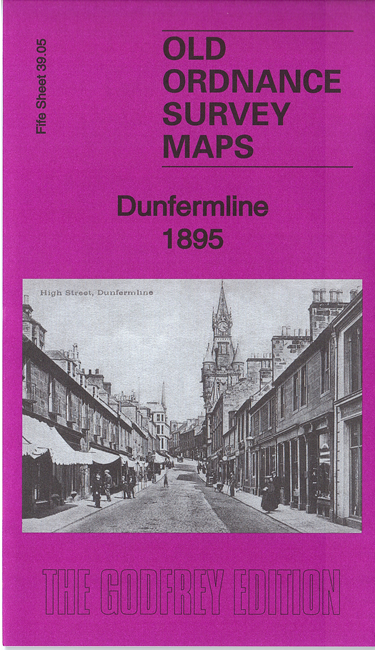
 Here are the details of maps for Dunfermline:

This detailed map of Dunfermline is double-sided for maximum coverage.
The main map covers the centre and east of the town, with coverage stretching from Guildhall Street eastward to Brucefield Feus and Wood Mill, and from Carnegie Street southward to St Leonard's Hill. Features include railway with Lower station, Charlestown Junction, Nethertown goods station, most of town centre, Bothwell Works, Elgin Bleachfield, St Leonard's Works, Brucefield House, Pitbauchlie, Comeley Park etc.
On the reverse we include part of adjacent sheet 38.08, extending coverage eastward to include Dunfermline Abbey, Pittencrieff House and Park, Chalmers Street area, Lady's Mill, NBR Nethertown Branch, Palace remains, Tower Hill etc.