Old Ordnance Survey Maps of Kirkcaldy (N)


We have published more than 2,300 maps in our series of Old Ordnance Survey Map reprints, including a major group in Scotland. The maps are highly detailed. They are taken from the OS 1:2,500 (or 25 inch) maps and reduced to about 15 inches to the mile. Each covers an area of a mile and a half by a mile. They show streets with individual houses, tram tracks, railway tracks and even signals, factories, wharves and such details as fountains and water troughs. They will provide hours of fascination for historians and genealogists. The maps are neatly folded and each includes a specially written introduction to the area. Maps can be purchased on our On-line Mapshop where further information about titles is given. Or visit The Index Page for a full list to the series and details of Prices.


Here are the details of maps for Kirkcaldy (North):

  • Fifeshire Sheet 36.05 North Kirkcaldy & Dysart 1894 - published 2005; introduction by Barbara Morris

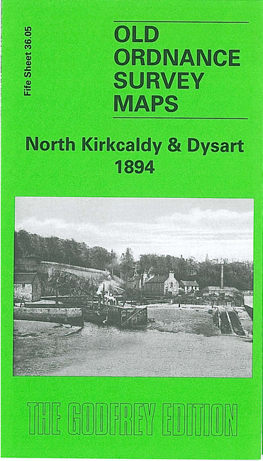
    This very detailed map covers the northern part of Kirkcaldy and extends NE to Dysart and Giffen Park.

    Features include railway with Sinclairtown and Dysart stations, Holmes Maltings, Pathhead area, Scottish Linoleum Works, Scottish Floor Cloth Works, Three Trees Park, Rosslyn Works, North British Works, Victoria Linen Works, Sinclairtown area, Haucklymuir Factory, Sinclairtown Pottery, Dysart Cemetery, St Serf's church, Dysart town centre, Panhall area, Ashlar Head, Dysart Harbour etc.

    On the reverse we include the small area of sheet 36.09 which covers Kirkcaldy Harbour and helps link the map with sheet 35.12

    The map links up with sheet 35.12 Central Kirkcaldy to the south west.


    Follow this link for a complete list of our Fifeshire Series maps.

    You can order maps direct from our On-line Mapshop. For other information and prices, and other areas, go to The Index Page.


    Maps in the Godfrey Edition are taken from the 25 inch to the mile map and reduced to about 15 inches to the mile. For a full list of maps for Scotland, return to the Scotland page

    The Godfrey Edition / godfreyedition@btinternet.com / 26 October 2009