
 Here are the details of maps for Cowdenbeath:

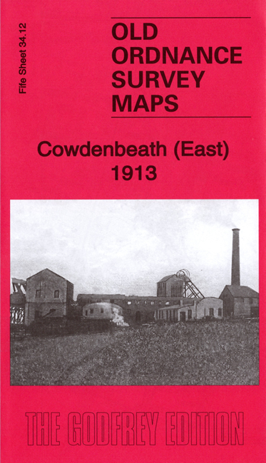
We have published a pair of maps for Cowdenbeath, which developed as one of Scotland's most important coal-mining towns. Each map also includes a large extract from the early 1896 map, showing how the area changed across the years.
Sheet 34.11 covers the western part of the town, much of it still relatively rural in 1913 although extensively covered by housing today. Features here include the Kirkford Pit, Mossbeath Colliery, Pit No.7 and Pit No.8, tramway depot, Stevenson's Beath, Rose Hill, Meiklebeath, cemetery and Beath Old Church.
Sheet 34.11 is the busier map and covers the centre of the town, with the High Street. Features here include Cowdenbeath Colliery, Pit No.3, Dora Pit, Lady Pit, Pit No.9, Gordon Pit, Little Raith Colliery, Loch-head Pit, Foulford Colliery, linen factory, football ground, churches, theatre. There is extensive railway information on the map, including the Old and New stations, the Kirkcaldy & District line, and mineral lines to most of the pits.