
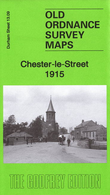
 Here are the details of maps for Chester-le-Street:
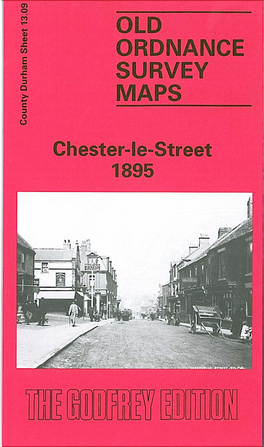

Each map is double-sided for maximum coverage.
The main map covers the centre and north of the town, with coverage extending north to Pelaw Farm and Pelaw House, westward to Stellagill Wood, and eastward to The Haughs. Features (taken from the 1915 version) include Chester Bridge, most of Front Street, Hop Garth, North and South Burns, Motor Bus Depot, Brewery, Infectious Diseases Hospital, Pelaw House, South Pelaw Colliery, High Flatts, NER Annfield Plain Branch, NER Pontop & South Shields Branch, Hippodrome etc.
On the reverse we include a large portion of adjacent sheet 13.13 extending coverage southward to include railway station, St Mary & St Cuthbert church, cemetery, site of Roman station, Chester le Street Union Workhouse, St Cuthbert's RC church, Empire Theatre etc
The map links up with Durham Sheet 12.12 Pelton Fell to the west.