Here are the details of maps for Roker:
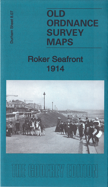
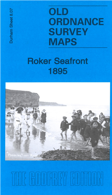
This very detailed map covers the Roker Seafront area from Whitburn Steel southward to the Harbour Entrance, including Roker Pier and the New South Pier.
Features include Roker Pier, old North Pier, New South Pier, Harbour Entrance, graving dock, North Dock, North Dock Basin, North Dock Shipbuilding Yard, part of NER North Dock Branch and railway sidings, Coastguard Station, tramway, Roker Park, Spotty's Hole, Roker Hotel, St Aidan's Mission Church, St Andrew's church (at edge of map), Rock Lodge, Promenade, Roker Cliff Park, Parson's Rocks, Whitburn Sands, South Bents Farm etc.
The map links up with Sheet 4.15 Whitburn to the north, 8.06 Fulwell to the west, 8.10 Monkwearmouth to the west and 8.15 Sunderland East to the south
Further information:
This map - essentially a pair of maps giving 2 miles coverage of the coast - includes the harbour entrance to Sunderland and its two great piers. The Roker or North Pier is the best known, popular with fishing enthusiasts and walkers, and has recently been restored, including its underground passage. Roker is also a modest seaside resort, with a pleasant stroll down to the beach, but the docks and other maritime features of this map are a reminder that Sunderland was once a busier port than it is today. Surprisingly, at its furthest edge, the map also takes us to one of the country's most important Arts and Crafts churches.
"The North Dock was opened in 1837 by the Wearmouth Dock Company which had been formed by Sir Hedworth Williamson. The engineer was Isambard Kingdom Brunel. However, the square 6-acre sized dock was always too small and it became somewhat disparagingly known as ‘Sir Hedworth’s bath tub’. In addition, although it had gates which opened to the river basin, as the basin was tidal the dock could only be used at high tide. It also proved difficult to access in stormy seas as no ship larger than a small collier was able to navigate into it. In 1839, a railway line was laid from the North Dock to the Brandling Junction near Gateshead – shown here as the NER North Dock Branch (always a goods line). Most of its trade was timber but this slumped when a new larger dock was built to the south."