Old Ordnance Survey Maps of Sunderland

  • These detailed maps normally cover an area of about one and a half miles by one mile. Each map includes an introduction.
  • They are available through our On-line Mapshop

  • Here are the details of maps for Fulwell:

  • Co Durham Sheet 8.06 Sunderland (Fulwell) 1913 - published 2020; intro by Alan Godfrey. ISBN.978-1-78721-350-0

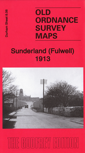
    This detailed map covers Fulwell, on the North side of Sunderland.

    The principal feature is the large range of quarries - Fulwell Quarry, Southwick Quarry and Carley Hill Quarry - including their railways. Also included is Fulwell's famous windmill and Mere Knolls Cemetery.

    The introduction has information about the important Williamson family, and there are also directories of Fulwell for 1894 and 1906.

    This map links up with Sheets 8.07 Roker Seafront to the east and 8.10 Monkwearmouth to the south.


  • Follow this link for a complete list of our Sunderland maps.
  • You can order maps direct from our On-line Mapshop. For other information and prices, and other areas, go to The Index Page.
  • Maps in the Godfrey Edition are taken from the 25 inch to the mile map and reduced to about 15 inches to the mile. For a full list of maps for the North East, return to the North East page.
    The Godfrey Edition / sales@alangodfreymaps.co.uk / 25 August 2020