 Here are the details of maps for Wirksworth:

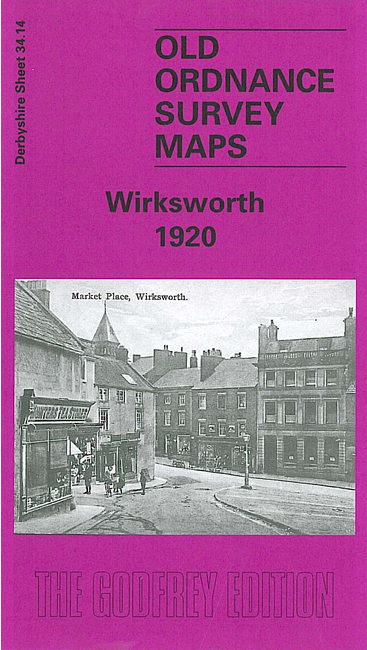
This detailed map covers the small town of Wirksworth, with coverage extending northward to Bolehill and Middlepeak.
Features include Midland Railway's Wirksworth Branch with station, section of LNWR Cromford & High Peak line, quarries with rail connections, Stoneycroft Quarry, Coal Hills Quarry, Redhill Quarry, Middlepeak Quarries, Greymare Mine (disused), Malsters Venture Mine (disused), other disused mines, St Mary's church, Wirksworth Hall, Gate House, Waltham House, Yokecliffe House, Market Place, Baileycroft Quarry (disused), Washgreen area, schools and chapels, Bolehill area, Yokecliffe Rake Mines (disused), old shafts etc. We include an 1891 directory of Wirksworth on the reverse.