
 Here are the details of maps for Chesterfield:

We have published two versions of this map, showing how the area changed across the years. Each gives good coverage of Chesterfield, also extending westward to New Brampton and southward to the Whitehouses area.
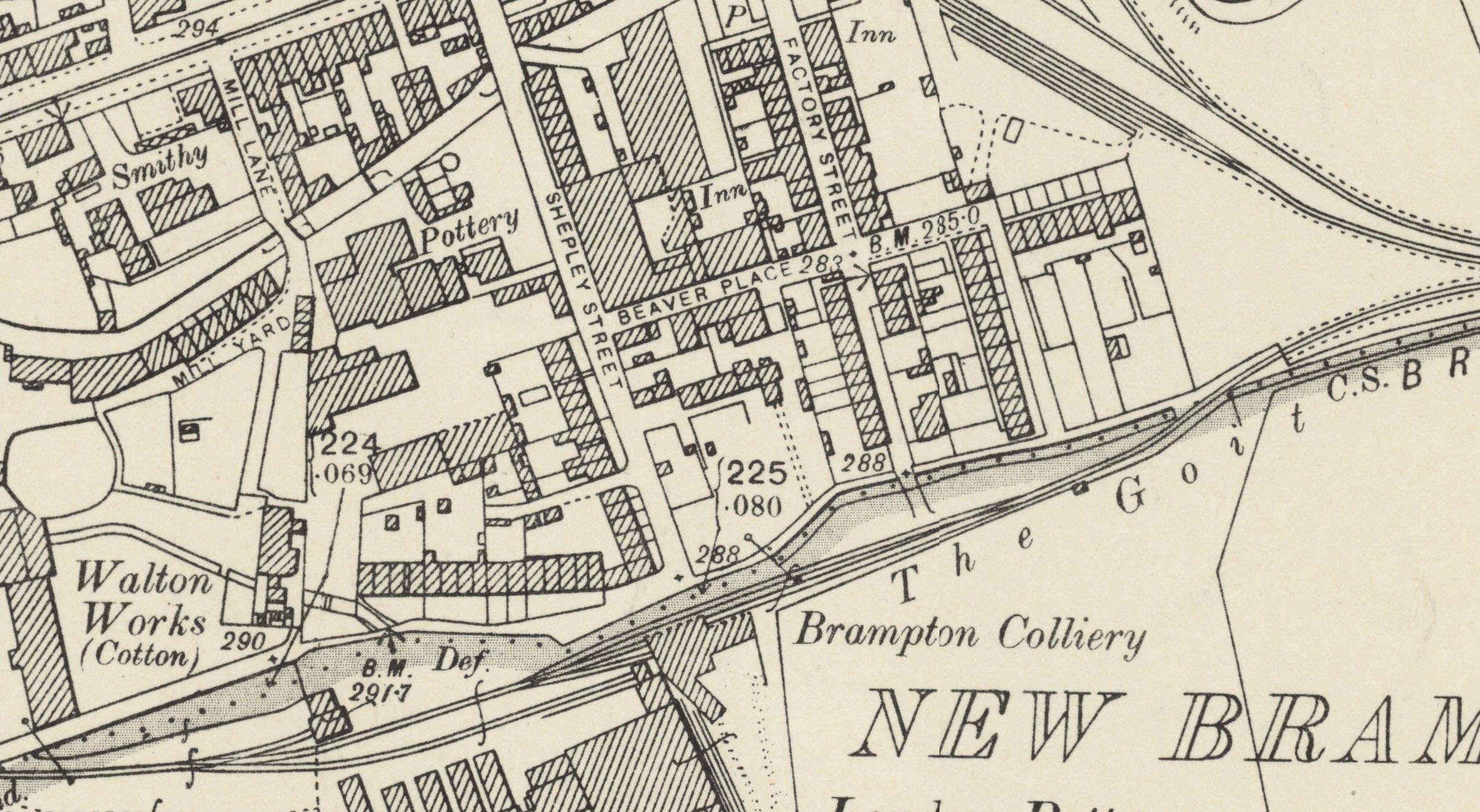
Features include Midland Railway with station, Great Central Railway with Chesterfield Loop and Great Central station, Lancashire Derbyshire & East Coast Railway with Market Place station, tramways, town centre with individual buildings neatly shown, St Mary & All Saints (Crooked Spire) church, Market Place, Market Hall, St James Mission Church, Broad Oaks Foundry, cemetery, River Rother, Whitehouses, Lincoln Works, Universal Works, Boythorpe Colliery and Boythorpe Incline, Midland Railway Brampton Branch, Dog Kennels area, Chesterfield & North Derbyshire Hospital, Queen's Park, Furnacehill area, New Brampton, London Pottery, Walton Chemical Works, Welshpool & Payne Potteries, Barker Pottery, Beehive Pottery, Field House Colliery, River Hipper, New Riber Colliery etc.
The map links up with sheet 25.02 Chesterfield North to the north.
Further information:
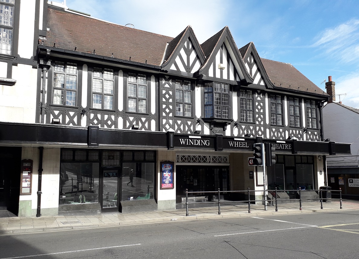
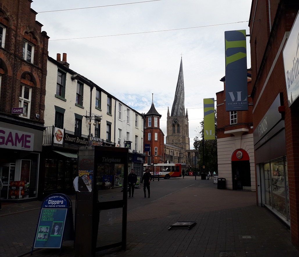
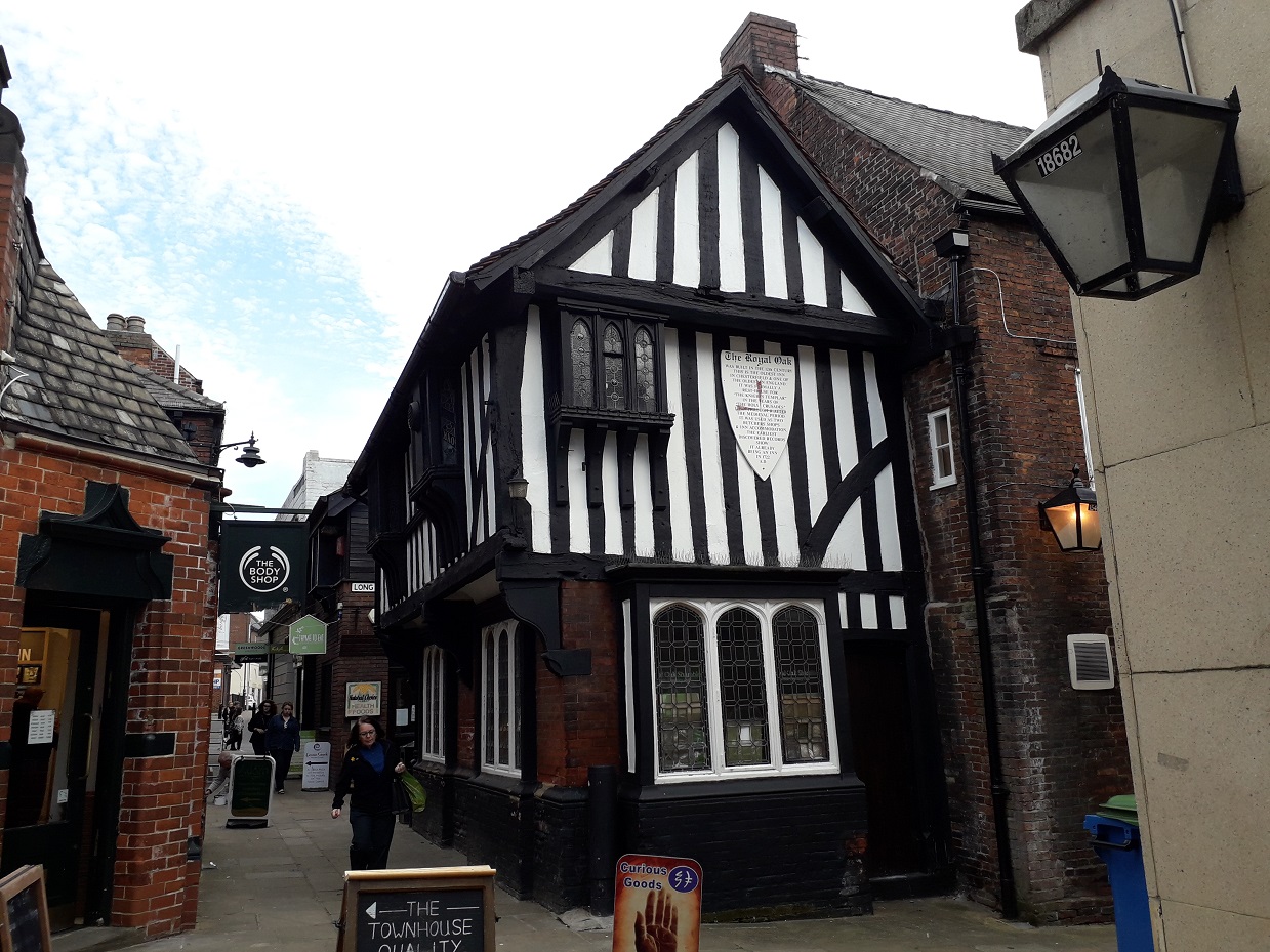
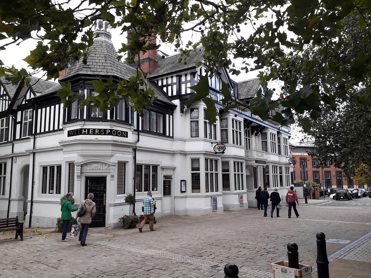
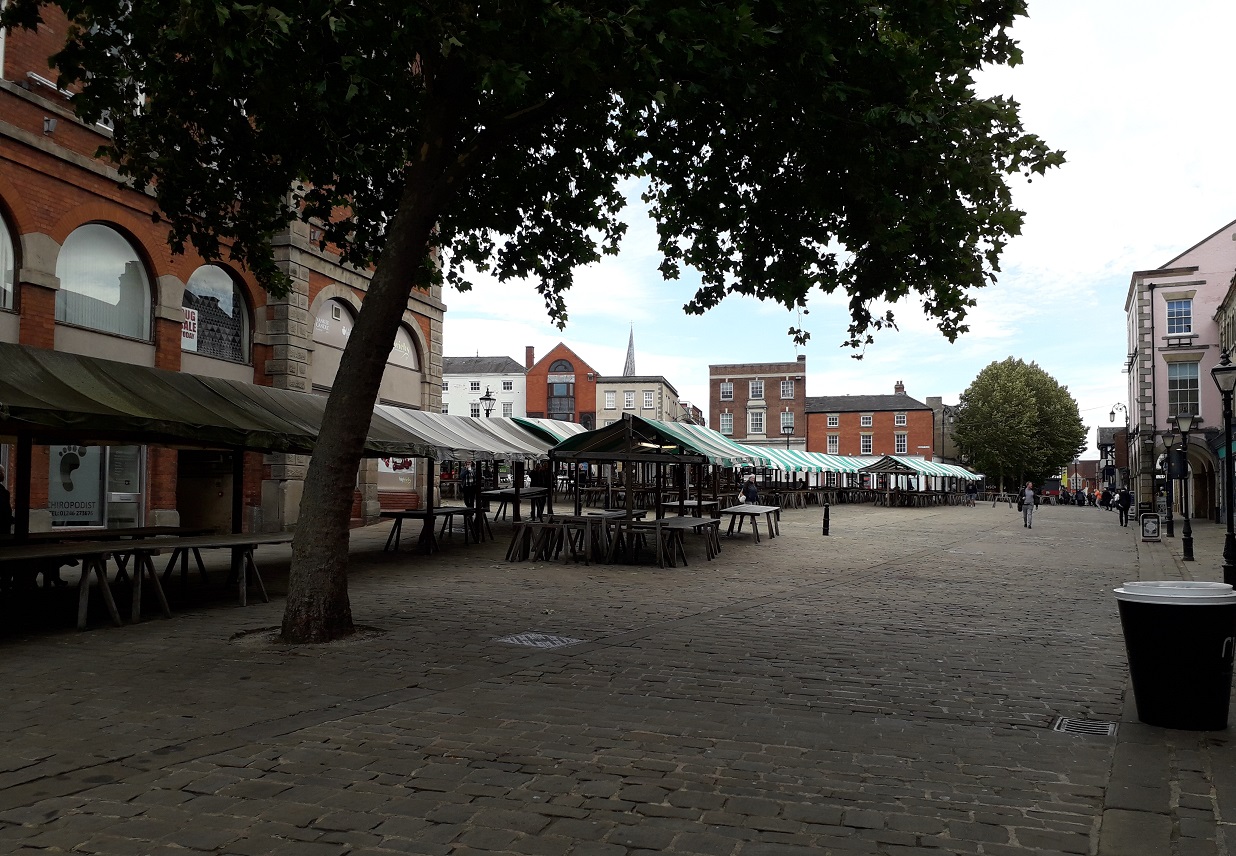
This map covers the centre of Chesterfield and extends westward to New Brampton. Chesterfield developed into a major industrial centre in the 19th century, although until 1892 it was hampered by tight borough boundaries that meant most industrial works were in outlying townships. It was at the heart of the north Derbyshire coal and iron trade, but New Brampton was also a major pottery centre. Industry is shown here in detail and there are four railways: the Midland main line, the Great Central's Chesterfield Loop, the indepedent Lancashire Derbyshire & East Coast Railway, soon to become part of the GCR, and the Midland's Brampton Branch, serving several industrial premises. Chesterfield today is best known for its 'Crooked Spire' but much of its ancient town centre layout survives, with many older builders, famously saved from the planners in the 1960s.


 .
.
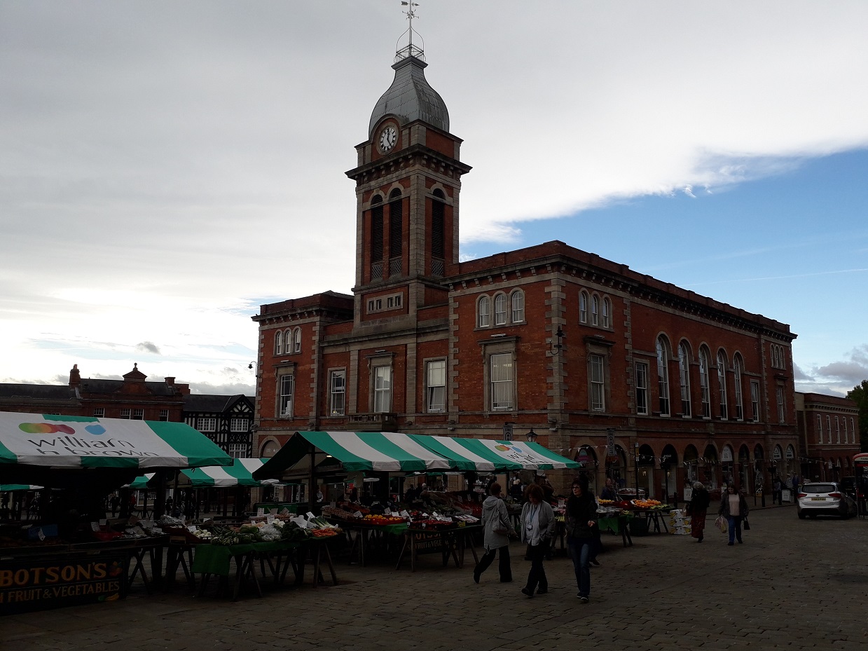
"The railway saved Chesterfield from becoming a sleepy market town. To demonstrate the town’s importance as a retail centre, a large Market Hall was built for the Chesterfield Market Company by Danes & Sons and this opened in 1857 ‘for the shelter and safeguard of market people’. This Italianate building, with an elaborate tower and a clock presented by the Duke of Devonshire, was dismissed by Pevsner as “the crudest show of High Victorian provincial prosperity” but today, after sympathetic restoration in 2013, it is recognised once again as an important feature of the town. The English Heritage Grade II listing is more kind: “It is a focal point of views from the entrances into the Market Place particularly those from the east and south and terminates the view along the narrow Shambles. The arcaded south side is particularly important from Central Pavement…The scale of the Market Hall echoes that of the rest of the Market Place whilst its size and coherent design provide a dominant note emphasized by the tall central tower”.