Old Ordnance Survey Maps of Derbyshire

  • These detailed maps normally cover an area of about one and a half miles by one mile. Each map includes an introduction.
  • They are available through our On-line Mapshop

  • Here are the details of maps for Furness Vale:

  • Derbyshire Sheet 8.07 Furness Vale 1897 - published 1999; intro by Derek Brumhead & George Tomlinson. ISBN.978-1-84151-084-2

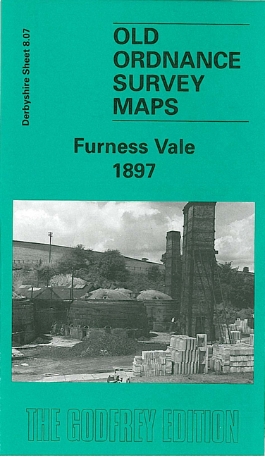
    This detailed map covers Furness Vale (in Cheshire) and an area of rural Derbyshire to the east, eastward to Laneside Farm, southward to Bridgemont.

    Features include Furness Print Works, Yeardsley Hall, Ringstone Pit, Ringstones Chemical Works, Bridgemont, Bottoms Hall, Furness Vale, LNWR railway with station, Gowhole, Midland Railway, Waterside, Lady Pit, Dolly Pit (disused), Cloughhead etc. On the reverse we include a section of the Inch to the Mile map for 1906 for the area.

    The map links up with Derbyshire sheets 8.03 New Mills (Low Leighton) to the north and 8.11 Whaley Bridge to the south.


  • Follow this link for a list of our maps for Derbyshire.
  • You can order maps direct from our On-line Mapshop. For other information and prices, and other areas, go to The Index Page.
  • Maps in the Godfrey Edition are taken from the 25 inch to the mile map and reduced to about 15 inches to the mile. For a full list of maps for England, return to the England page.
    Alan Godfrey Maps, Prospect Business Park, Leadgate, Consett, Co Durham, DH8 7PW / sales@alangodfreymaps.co.uk / 25 November 2016