Old Ordnance Survey Maps of Fife
These highly detailed maps of Cupar are taken from the Fifeshire 1:500 town plans.
They are available through our On-line Mapshop
 Here are the details of maps for Cupar:
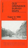
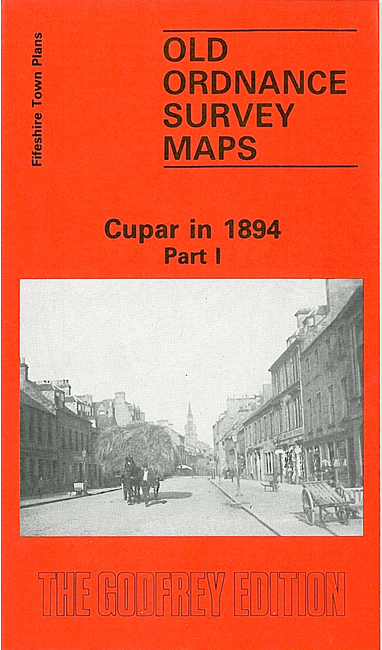
- Fifeshire Town Plans 1 Cupar in 1894, Part 1 - published 1988; intro by Sandy Wilkie. ISBN.978-0-85054-165-6

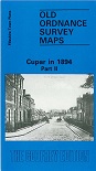
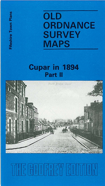
- Fifeshire Town Plans 2 Cupar in 1894, Part 2 - published 1988; intro by Sandy Wilkie. ISBN.978-0-85054-192-2
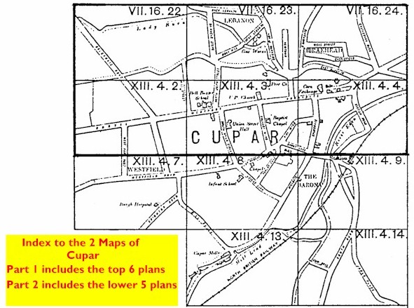
These two maps are taken from the Fifeshire 1:500 Plans and reduced in scale. They are extremely detailed, showing individual houses, railway tracks, lamp posts, even the layout of some gardens. We have grouped the maps, which comprise 11 of the original town plans, here on 2 maps,
so that between them they give excellent coverage of the town. Click on the thumbnail right for an index map: 
Sheet 1 includes six of the maps, four on the main side, two on the reverse. These cover the Bonnygate, Crossgate and St Catherine Street area, with coverage northward to Well Street. Features include Lebanon Works, Bell Baxter School, Hillside Foundry, churches, Cart Haugh, County Buildings, St James church, Corn Exchange,
Stratheden Works, South Bridge Works, banks, Sabbath School Hall, Duncan Institute, Cattle Market, malthouses, Balgarvie Road area, Bonvil, Riding School, and houses, many of them with names.
Sheet 2 covers four maps on the main side, one on the reverse, and shows the southern part of the town, a more residential area. Features include railway station, South Road area, Bellfield House, Cupar Mills, Burgh Hospital. This map also includes an index map to the town plans.
Follow this link for a complete list of our Fifeshire Series maps.
You can order maps direct from our On-line Mapshop.
For other information and prices, and other areas, go to The Index Page.
Most maps in the Godfrey Edition are taken from the 25 inch to the mile map and reduced to about 15 inches to the mile.
For a full list of maps for Scotland, return to the Scotland page
The Godfrey Edition / sales@alangodfreymaps.co.uk / 11 March 2018
 Here are the details of maps for Cupar: