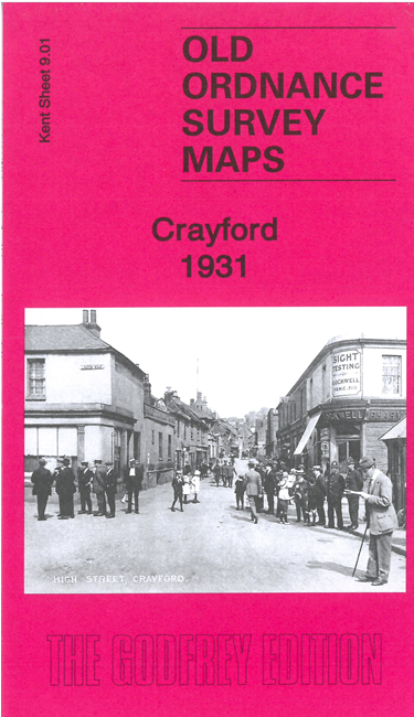
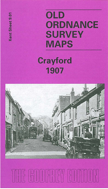
 Here are the details of maps for Crayford:

We have published two versions of this map, showing how the area changed across the years.
Crayford has an ancient history, the Battle of Creganford having been fought here between the Britons and the Jutes in 457 AD. These maps cover most of the town, and shows it to have a strong industrial base, but with several large houses in ample grounds scattered around the outskirts. The Dartford Loop railway line crosses the SE corner of the map, including Crayford station. The Dover Road or Watling Street crosses the map east-west, running through the town and with a tramway.
Other features include a tannery, two silk and calico printing works, the West Kent Gas Works, the Swaislands Block Printing Works, the Crayford Works, where Vickers produced armaments, aeroplanes and cars. Vickers later built an estate for their workers at Barnes Cray, which was still a hamlet in 1907. Other features include Whitehill, St Paulinius church, Manor House, Iron Mill Lane, Bigs Hill Wood, Hall Place Mill (a printing works), Halcot, Martens Grove, Oakwood, May Place, River Cray.
The map links up with Kent Sheets 3.13 Barnehurst to the north, 8.04 Bexley Heath to the west, 9.02 Dartford North to the east.