Old Ordnance Survey Maps of Cumberland

  • These detailed maps normally cover an area of about one and a half miles by one mile. Each map includes an introduction.
  • They are available through our On-line Mapshop

  • Here are the details of maps for Alston:

  • Cumberland Sheet 34.09 Alston 1898 - published 2005; intro by Alan Godfrey. ISBN.978-1-84151-763-6

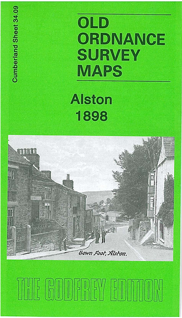
    This detailed map gives good coverage of the small town of Alston, with coverage extending from the town centre eastward to High Skelgill.

    Features include town centre with individual buildings neatly shown; railway terminus with coal depot, St Augustine's church, Alston with Garrigill Workhouse, Alston Bridge, Hosiery Works, Market Place, Butts, Jollybeard House, Clitheroe, River Nent, Woollen Mill (disused), old quarries, Middle Skelgill, Townhead, Townfoot, etc. On the reverse we include extracts from a 1901 trade directory for Alston.


  • Follow this link for a complete list of our Cumberland Series maps.
  • You can order maps direct from our On-line Mapshop. For other information and prices, and other areas, go to The Index Page.
  • Maps in the Godfrey Edition are taken from the 25 inch to the mile map and reduced to about 15 inches to the mile. For a full list of maps for England, return to the England page.
    Alan Godfrey Maps, Prospect Business Park, Leadgate, Consett, Co Durham, DH8 7PW / sales@alangodfreymaps.co.uk / 6 June 2021