
Old Ordnance Survey Maps of Berwickshire
We have published two maps for Berwickshire. Each map includes an introduction.
They are available through our On-line Mapshop
Berwickshire is one of Scotland's historic counties. It was abolished in 1975 when it became part of the new Scottish Borders region.
Since 1996 Scottish Borders has been a unitary authority.
See This Page for more information on the area's local government history.
 These are the maps we publish for Berwickshire:
06.13 Eyemouth 1898 - published 2000, intro by Barbara Morris
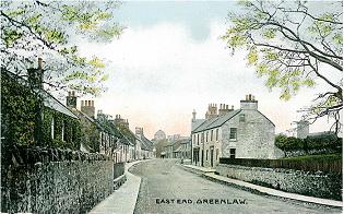
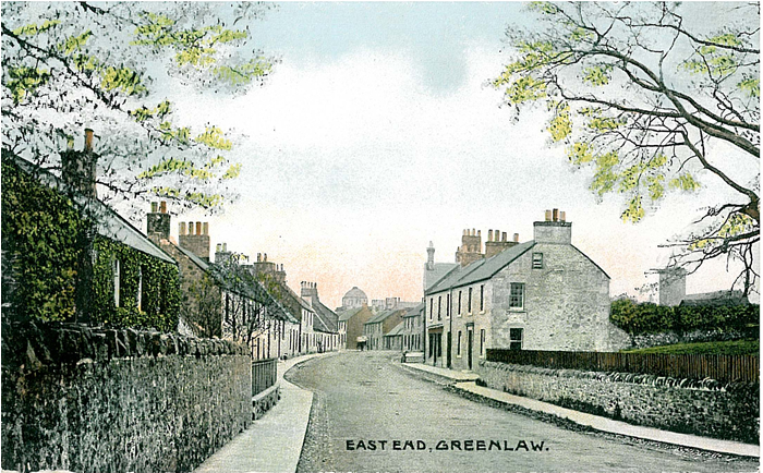
16.07 Duns & Greenlaw 1898 - published 2000, intro by John Griffiths
Note: Berwick-on-Tweed is in England and in our Northumberland series.
 Most maps in the Godfrey Edition are taken from the 25 inch to the mile map and reduced to about 15 inches to the mile.
For a full list of Scottish maps, return to the Scotland page
You can order maps direct from our On-line Mapshop.
Most maps in the Godfrey Edition are taken from the 25 inch to the mile map and reduced to about 15 inches to the mile.
For a full list of Scottish maps, return to the Scotland page
You can order maps direct from our On-line Mapshop.
Alan Godfrey Maps, Prospect Business Park, Leadgate, Consett, DH8 7PW. Tel 01207 583388
The Godfrey Edition / sales@alangodfreymaps.co.uk / 13 Nov 2016
 These are the maps we publish for Berwickshire: