Old Ordnance Survey Maps of Yorkshire

  • These detailed maps normally cover an area of about one and a half miles by one mile. Each map includes an introduction.
  • They are available through our On-line Mapshop

  • Here are the details of maps for Sheffield Millhouses:

  • Yorkshire 298.03 Sheffield (Millhouses) & Norton Woodseats 1903 - published 2020; intro by Melvyn Jones. ISBN.978-1-78721-364-7

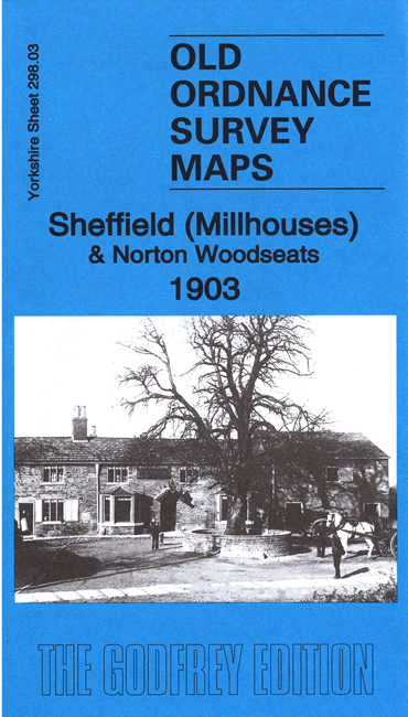
    This detailed map covers the Milhouses area, south of Sheffield, with Norton Woodseats to the east.

    Features include railway with Millhouses station, Beauchief & Abbey Dale station, Holy Trinity church, Victoria Works, Marriott Wood Brickworks, Holmhirst Farm, Ivy House Farm, tramway, Cobnar Works, Norton Cemetery, etc

    We include directory extracts on the reverse of the map, together with a specially written introduction to the history of the area.

    The map links up with Sheets 294.15 Nether Edge to the north.


  • You can order maps direct from our On-line Mapshop. For other information and prices, and other areas, go to The Index Page.
  • Maps in the Godfrey Edition are taken from the 25 inch to the mile map and reduced to about 15 inches to the mile. Follow this link for a complete list of our Sheffield maps; or here for the whole Yorkshire series.
    Alan Godfrey Maps, Prospect Business Park, Leadgate, Consett, Co Durham, DH8 7PW / sales@alangodfreymaps.co.uk / 25 September 2020