Old Ordnance Survey Maps of Yorkshire

  • These detailed maps normally cover an area of about one and a half miles by one mile. Each map includes an introduction.
  • They are available through our On-line Mapshop

  • Here are the details of maps for Bentley:

  • Yorkshire Sheet 277.09 Bentley 1929 - published 2026; intro by Alison Vainlo. ISBN.978-1-78721-997-7

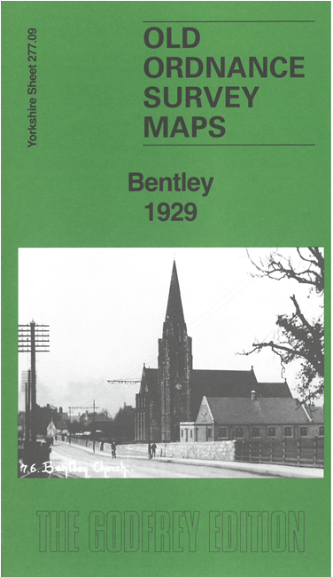
    This detailed map covers the village of Bentley, just north of Doncaster, and is double-siderd for maximum coverage.

    Features include Wheatley Hall, LNER main line with Arksey station, line towards Thorne, River Don, Flood Drain, Bentley village, St Peter's church, Bentley Hotel, LNER Gowdall & Braithwell line, Miners Welfare Park, etc.

    The map links up with Yorkshire Sheet 277.05 Arksey to the north, 277.13 Doncaster North to the south.


    For other information and prices, and other areas, go to The Index Page.
  • Maps in the Godfrey Edition are taken from the 25 inch to the mile map and reduced to about 15 inches to the mile. Follow this link for a complete list of our Doncaster maps; or here for the whole Yorkshire series.
    Alan Godfrey Maps, Prospect Business Park, Leadgate, Consett, Co Durham, DH8 7PW / sales@alangodfreymaps.co.uk / 26 June 2026