Old Ordnance Survey Maps of Yorkshire

  • These detailed maps normally cover an area of about one and a half miles by one mile. Each map includes an introduction.
  • They are available through our On-line Mapshop

  • Here are the details of maps for Arksey:

  • Yorkshire Sheet 277.05 Arksey & Bentley Colliery 1929 - published 2026; intro by Alison Vainlo. ISBN.978-1-78721-985-4

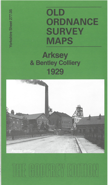
    This detailed map covers the village of Arksey, just north of Doncaster, together with Bentley Colliery and its New Village.

    Features include Arksey village, All Saints church, Arksey Hall, Brook House Farm, LNER railway, Bentley Colliery with sidings, Bentley Colliery Branch, Daw Lane Plantations, Stockbridge, St Philip's church, New Village with Club and football and cricket grounds etc.

    On the reverse we include an 1889 directory of Arksey, extracts from a 1910 GNR timetable, and a specially written introduction to the history of the area.

    The map links up with Yorkshire Sheet 277.09 Bentley to the south.


    For other information and prices, and other areas, go to The Index Page.
  • Maps in the Godfrey Edition are taken from the 25 inch to the mile map and reduced to about 15 inches to the mile. Follow this link for a complete list of our Doncaster maps; or here for the whole Yorkshire series.
    Alan Godfrey Maps, Prospect Business Park, Leadgate, Consett, Co Durham, DH8 7PW / sales@alangodfreymaps.co.uk / 26 June 2026