Old Ordnance Survey Maps of Yorkshire

  • These detailed maps normally cover an area of about one and a half miles by one mile. Each map includes an introduction.
  • They are available through our On-line Mapshop

  • Here are the details of maps for York Bishopthorpe:

  • Yorks Sheet 174.14 Bishopthorpe 1906 - published 2025; intro by Alan Godfrey. ISBN.978-1-78721-925-0

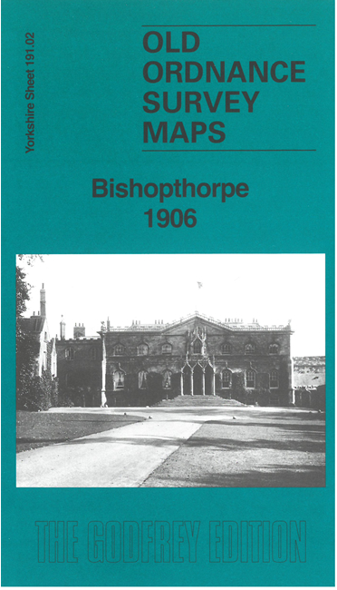
    This detailed map covers the village of Bishopthorpe, famously the home of the archbishops of York, at the southern end of the city of York.

    Features include St Andrew's church, Manor House or Palace, the village with all buildings neatly shown, Middlethorpe Grange, Fulford Ings, York City Asylum, Naburn Lodge, Acres House, etc.

    On the reverse we include a six-inch map of the area, which extends coverage westward to Copmanthorpe.

    The map links up with Yorkshire Sheet 174.14 York Dringhouses to the north.


  • For other information and prices, and other areas, go to The Index Page.
  • Maps in the Godfrey Edition are taken from the 25 inch to the mile map and reduced to about 15 inches to the mile. Follow this link for a complete list of our City of York maps; or here for the whole Yorkshire series.
    Alan Godfrey Maps, Prospect Business Park, Leadgate, Consett, Co Durham, DH8 7PW / sales@alangodfreymaps.co.uk / 27 November 2025